
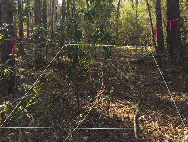
Pilot plot photo before clearing the vegetation.
By South Atlantic Water Science Center (SAWSC)
April 2023 (approx.)
Detailed Description
Photograph showing the generalized pilot-scale phytoremediation area (100-ft by 50-ft) near an existing shallow monitoring well (located at upper right-hand corner of grid) and along the southern riparian zone of the unnamed tributary to Sixmile Creek, which is not seen in the picture but exists just to the right.
Sources/Usage
Public Domain.