
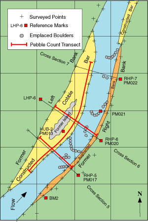
RCMAP - Example Illustration showing measurements recorded
By Colorado Water Science Center
2008 (approx.)
Detailed Description
Measurements include surveys of the channel cross section and longitudinal profile, measurement of sediment-size characteristics of the streambed and banks, and oblique photography from monumented locations through the reach.
Sources/Usage
Public Domain.