
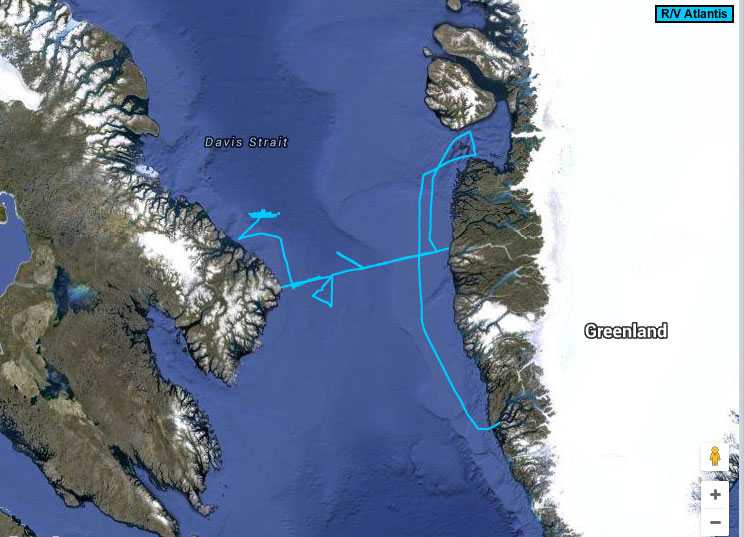
R/V Atlantis trackline
By Coastal and Marine Hazards and Resources Program
2015 (approx.)

Detailed Description
Screenshot on September 16, 2015, of the track of the R/V Atlantis displayed on the Woods Hole Oceanographic Institution's website.
Sources/Usage
Public Domain.