
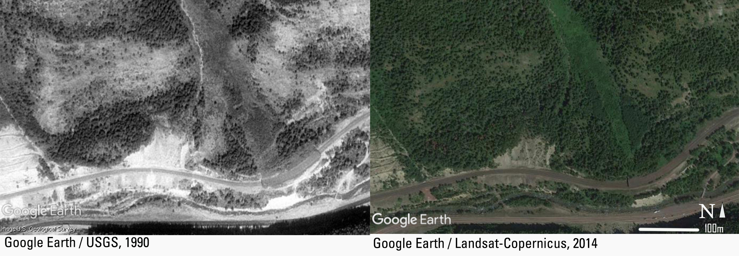
Satellite images over time (1990 and 2014)
By Northern Rocky Mountain Science Center
1990 (approx.)

Detailed Description
By comparing vegetation patterns over a time sequence of satellite images, scientists create a chronology of avalanche events for specific paths.
Sources/Usage
Click image to see full Google Earth image attribution