
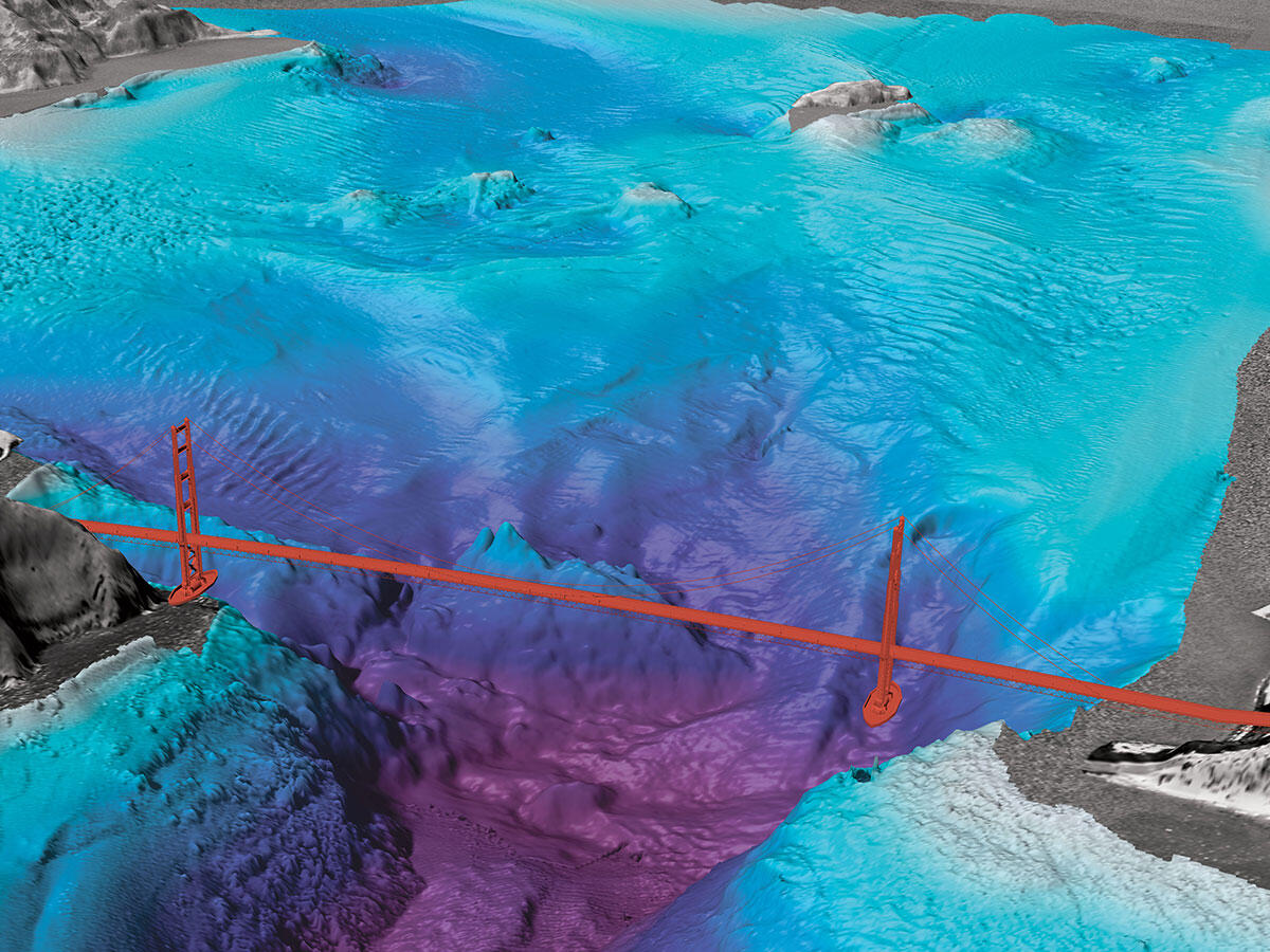
SF Bay floor
Detailed Description
This graphic is an example of one of the environments in which the USGS works, in nearshore and continental shelf environments.
Sources/Usage
Public Domain.
Coastal and Marine Hazards and Resources Program Decadal Strategic Plan
This geonarrative constitutes the Decadal Strategic Plan of the USGS's Coastal and Marine Hazards and Resources Program for 2020 to 2030.