
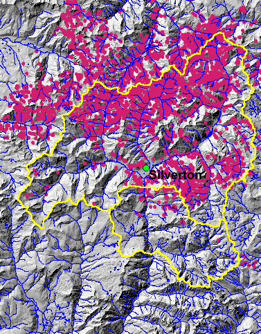
Shaded relief image and upper Animas River watershed boundary. Mine-related sites are marked in pink circles. Rivers and streams are in blue.
By Water Resources Mission Area
2007 (approx.)

Detailed Description
Shaded relief image and upper Animas River watershed boundary. Mine-related sites are marked in pink circles. Rivers and streams are in blue. This map image is part of the USGS Abandoned Mine Lands Initiative (AMLI): Upper Animas River Study Area Project.
Sources/Usage
Public Domain.