
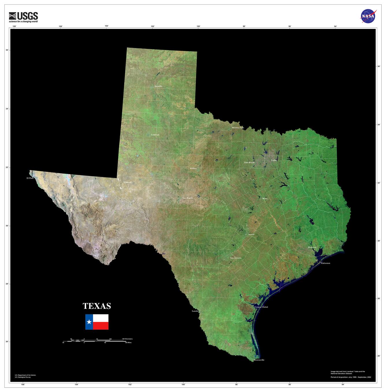
Texas Orthorectified Landsat State Mosaic
Detailed Description
This image was created using Tri-Decadal Global Landsat Orthorectified ETM+ Pan-Sharpened data, and draped with National Elevation Dataset (NED) data.
Visit the Landsat Missions website to learn more about Landsat.
Sources/Usage
Public Domain.