
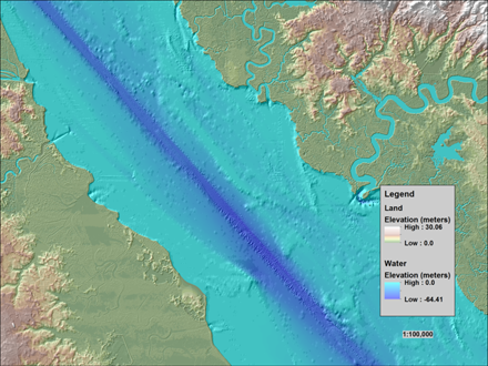
Topobathymetric elevation model of the Delaware River Basin
Detailed Description
This image of the Delaware River shows how topographic (land elevation) and bathymetric (water depth) information are integrated to form a topobathymetric elevation model of the Delaware River Basin.
See the Coastal National Elevation Database (CoNED) Applications Project page for more information.