
Turbidity data in Lake Tahoe
By Nevada Water Science Center
2020 (approx.)

Detailed Description
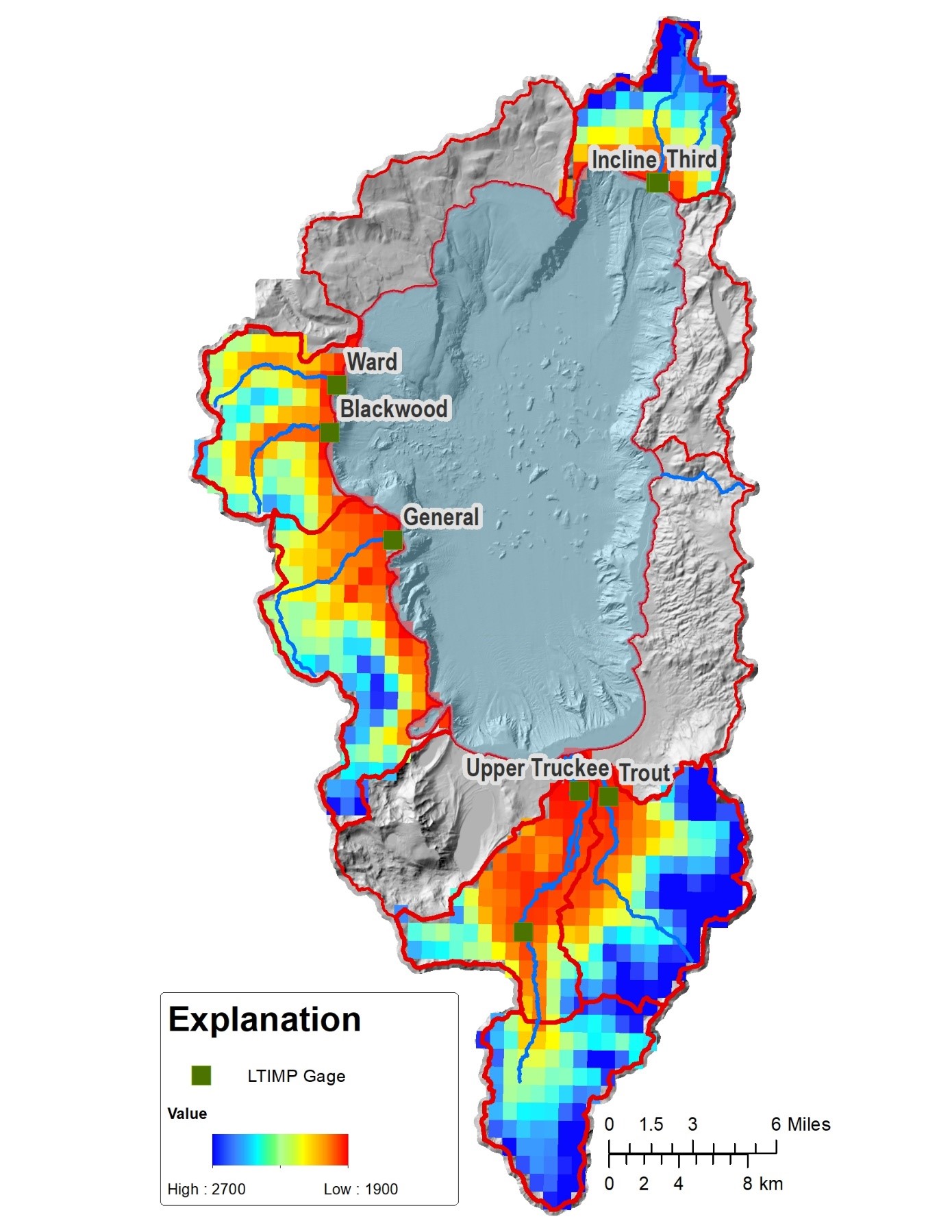
LTIMP watershed with real-time turbidity data. Each 1 km grid denotes modeling cell where soil moisture, temperature and snow-water equivalent will be simulated and used as training data for ensemble machine learning methods such as random forest, empirical orthogonal function, principal component regression, and step-wise regression.
Sources/Usage
Public Domain.