
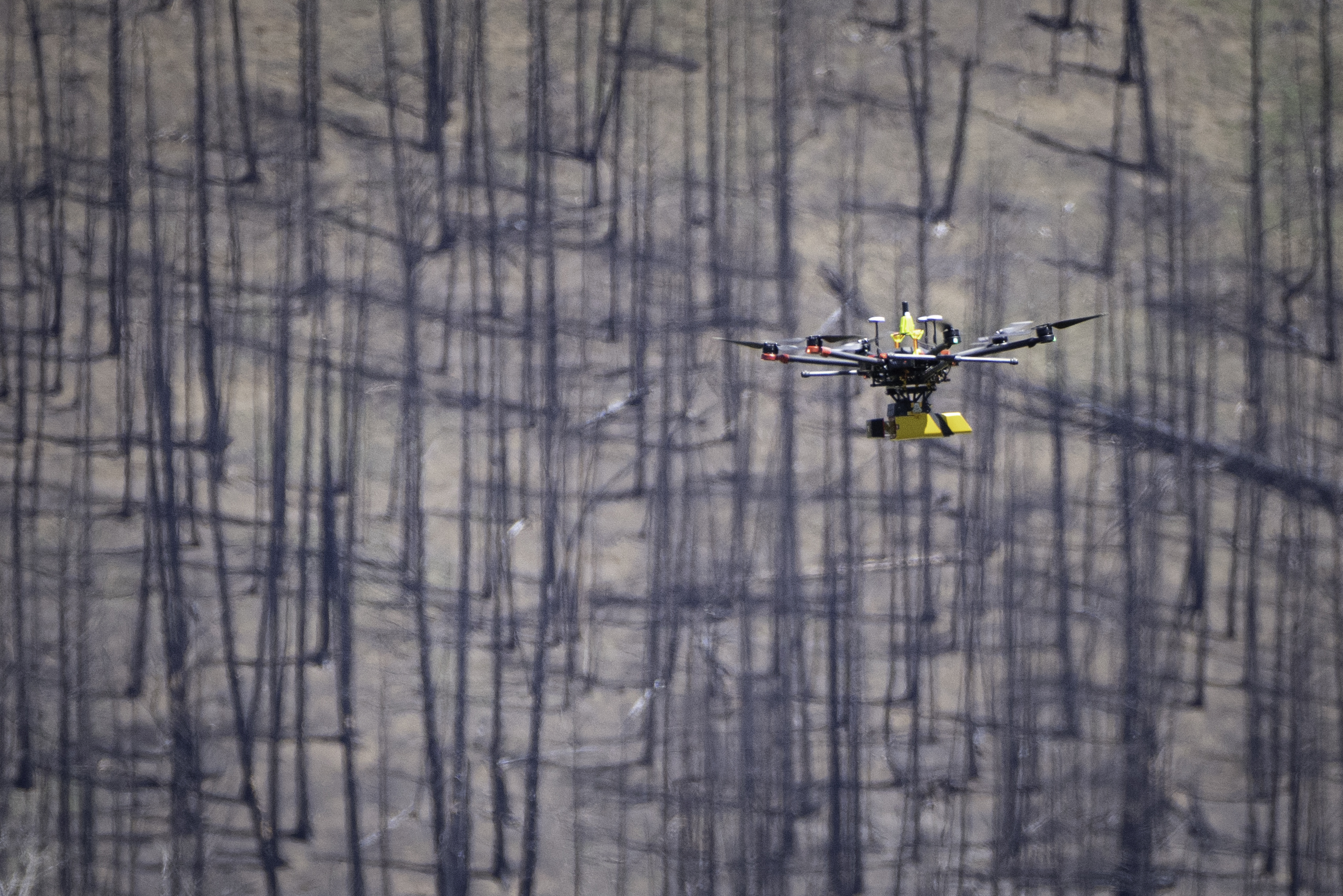
UAS collecting lidar over an East Troublesome Fire burn scar

Detailed Description
In June 2021, eight months after the East Troublesome Fire burned over 193,000 acres in Colorado, NUSO performed UAS data collection over several of the burn scars representing different fire intensity levels and fuel types. This effort supported a DOI Office of Wildland Fire project to evaluate the application of UAS data into the DOI fuels and BAER programs that explores mapping processes that could display contact zones between fire intensity and burn severity.
Sources/Usage
Public Domain.