USGS aerial imaging mapping team

Detailed Description
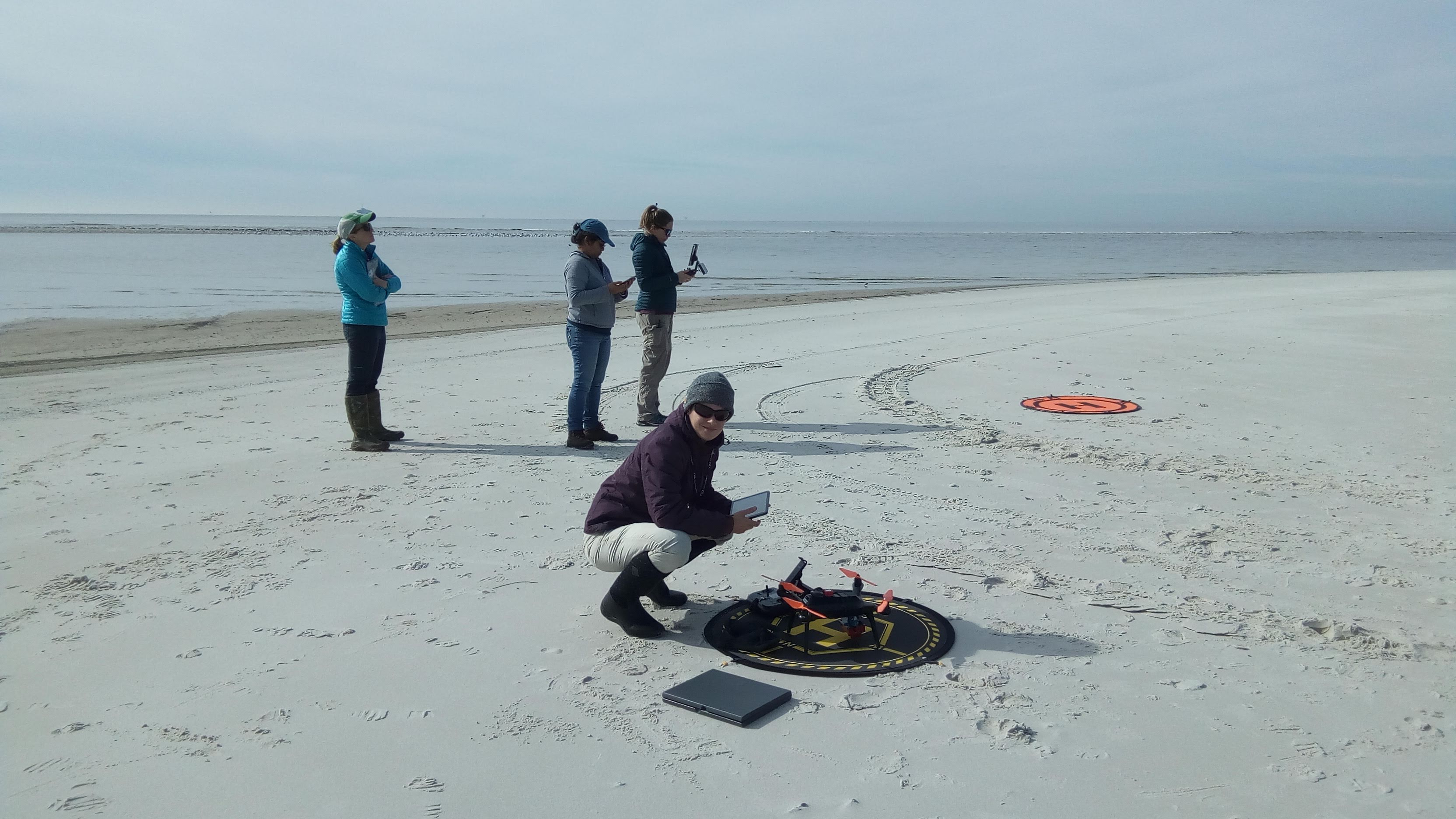
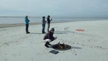
USGS unmanned aerial system (uas) mapping team on the beach in Dauphin Island, Alabama
Sources/Usage
Public Domain.

Official websites use .gov
A .gov website belongs to an official government organization in the United States.
Secure .gov websites use HTTPS
A lock () or https:// means you’ve safely connected to the .gov website. Share sensitive information only on official, secure websites.
USGS unmanned aerial system (uas) mapping team on the beach in Dauphin Island, Alabama
Public Domain.