
USGS with Ohio DOT
Detailed Description
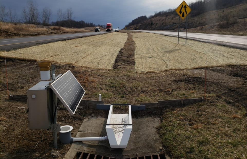
The soil amendments consisted of a mixture of compost plus sand or compost plus expanded shale that were rototilled into the existing soil to depths of 4 or 6 inches. The amended soils were then topped with a compost blanket, seeded, and covered with erosion-control matting
Sources/Usage
Public Domain.