
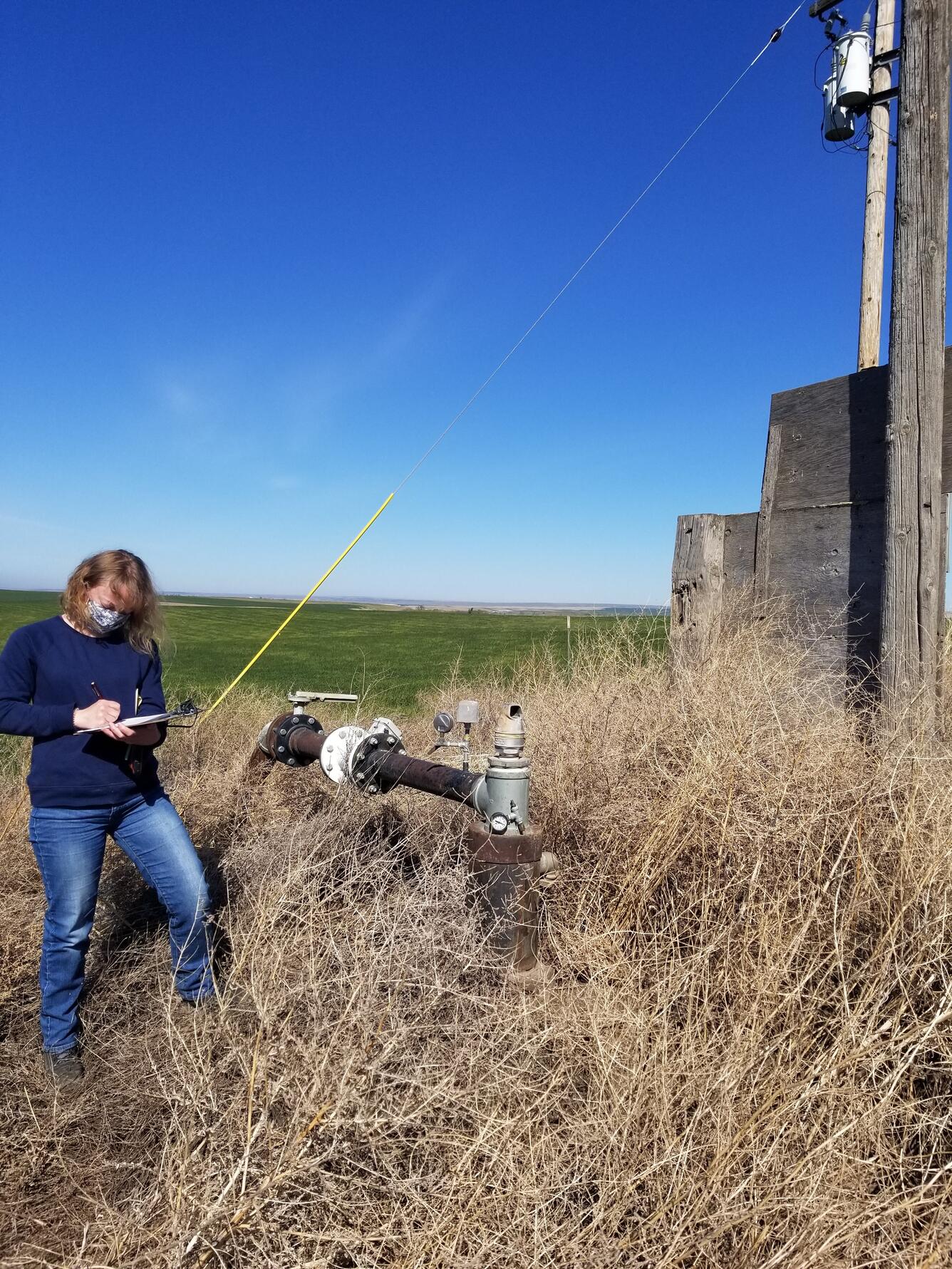
USGS scientist measures groundwater level in irrigation well
Detailed Description
In this photo, USGS scientist Julia David is taking field notes while out measuring groundwater levels in an irrigation well in the Walla Walla River Basin in April 2021. The USGS Washington Water Science Center is conducting a groundwater study in the Walla Walla River Basin to inform planning and water management decisions at a basin-wide scale. USGS will use new and historical data to help better understand groundwater conditions in the basin, the impacts of groundwater pumping on groundwater levels, and groundwater/surface-water interactions in the River.
Photographer: USGS/Elisabeth Fasser
Sources/Usage
Public Domain.