U.S. flag

An official website of the United States government

June 27, 2024

The KPcam, a webcam on the flank of Mauna Loa that looks south towards Kīlauea summit and the Southwest Rift Zone, was upgraded on June 25 by HVO staff. 

During the most recent Kīlauea eruption on June 3, the KPcam captured the glow as lava began erupting on the surface of the Southwest Rift Zone. The new webcam will provide a higher quality image and slightly wider field of view. View the KPcam images and 24-hour animated GIF here: [KPcam] - Kīlauea Summit from Mauna Loa Strip Road | U.S. Geological Survey (usgs.gov).


Color photograph of volcano monitoring station
Energy from solar panels at the KPcam site is stored in large batteries, which power the camera. Images captured by the camera are relayed, via an antenna, back to the observatory. USGS image by M. Warren.
Color photograph of scientist installing webcam on mast
An HVO geologist attaches the upgraded KPcam to the mast. Like all HVO webcams, the KPcam is in box that protects it against the weather and elements. USGS photo by M. Warren.
Color photograph of scientist checking computer in the field
An HVO geologist tests the upgraded KPcam connection to see if newly acquired images are being transmitted to the observatory. During the most recent Kīlauea eruption on June 3, the KPcam captured the glow as lava began erupting on the surface of the Southwest Rift Zone. USGS photo by M. Warren.
Color photograph of field engineer adjusting volcano monitoring equipment
An HVO field engineer adjusts the view of the upgraded KPcam, which is fixed on a mast a couple meters (yards) above the ground surface. The camera is located on the south flank of Mauna Loa, at an elevation of about 2,000 meters (6,700 feet) above sea level, and provides expansive views to the southeast of Kīlauea. USGS photo by M. Warren.
Color photograph of field engineers installing webcam
The KPcam, a webcam on the flank of Mauna Loa that looks south towards Kīlauea summit and the Southwest Rift Zone, was upgraded on June 25 by HVO staff. The new webcam will provide a higher quality image and slightly wider field of view. This photo shows HVO physical science technicians removing the old webcam. USGS photo by M. Patrick.
Color photograph of a mast with an antenna and webcam fixed to it
The upgraded KPcam is located in the white box, fixed on a mast about a couple meters (yards) high. The camera view, which is the southeast, captures the uppermost portions of Kīlauea's middle East Rift Zone, the summit region, and the upper part of Kīlauea's Southwest Rift Zone. This expansive view helps HVO to evaluate the location of new eruptive activity at Kīlauea, and to evaluate how high eruptive plumes are extending. USGS photo by M. Warren.
Color photograph of field engineer servicing a webcam station
An HVO physical science technician checks the wiring on the new webcam, attached to the top of the mast, that looks towards the summit and Southwest Rift Zone of Kīlauea. USGS photo by M. Patrick.
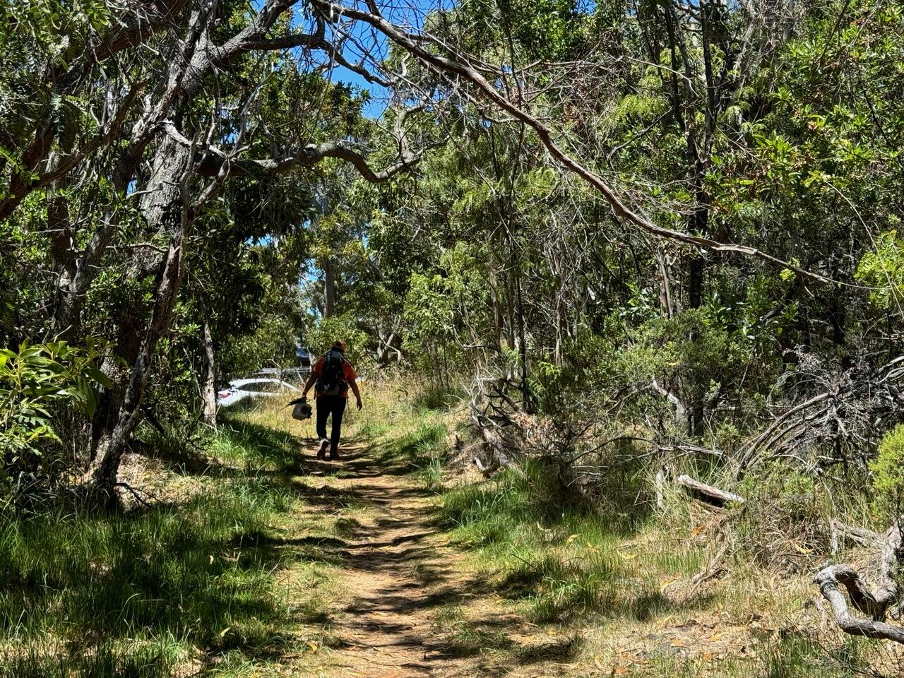
Color photograph of field engineer hiking through forest
HVO physical science technicians maintain dozens of HVO field stations across the Island of Hawai‘i, providing an opportunity to work in remote wilderness areas. Here, an HVO physical science technician carries out the old webcam along the Mauna Loa trail on a beautiful day. USGS photo by M. Patrick.


Get Our News

These items are in the RSS feed format (Really Simple Syndication) based on categories such as topics, locations, and more. You can install and RSS reader browser extension, software, or use a third-party service to receive immediate news updates depending on the feed that you have added. If you click the feed links below, they may look strange because they are simply XML code. An RSS reader can easily read this code and push out a notification to you when something new is posted to our site.