
LidarExplorer
Search, Download, and Visualize 3DEP Lidar and DEM Data
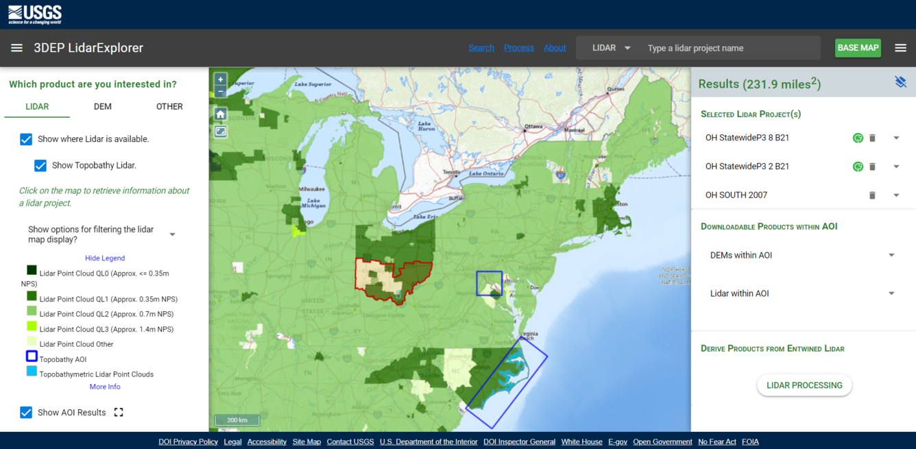
LidarExplorer is an online application that allows users to search and visualize Light Detection and Ranging (lidar) and its derived products. Users can find lidar, Digital Elevation Model (DEM), topobathymetric, and orthorectified radar image (ORI). The application uses Entwine Point Tile (EPT) format to help visualize projects in a web-based 3D viewer for quick views of the data. It also allows for cloud processing.

Entwine Point Tile (EPT) Processing


Related

Lesson 10k1 - Using LidarExplorer
This National Map training video is an introduction to using the LidarExplorer application to easily access lidar data and derived products. In LidarExplorer, you can search for lidar projects, digital elevation models, and lidar point cloud files to meet your needs.
Related
Lesson 10k1 - Using LidarExplorer
This National Map training video is an introduction to using the LidarExplorer application to easily access lidar data and derived products. In LidarExplorer, you can search for lidar projects, digital elevation models, and lidar point cloud files to meet your needs.