U.S. flag

An official website of the United States government

Photo and Video Chronology - Kīlauea - May 8, 2019

May 8, 2019

Equipment check at Pu‘u ‘Ō‘ō


image related to volcanoes. See description
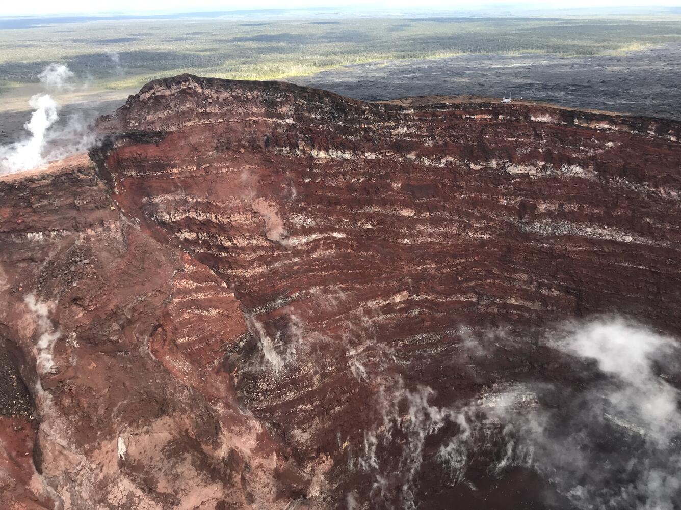
On May 7, 2019, field crews visited a telemetry hub on the rim of Pu‘u ‘Ō‘ō to assess damage after a small collapse on May 1. During the overflight, photos and observations were made of the Pu‘u ‘Ō‘ō crater. The crater walls expose a clear sequence of lava flows and cinder that built the cone in the early 1980s. USGS image by F. Younger.
image related to volcanoes. See description
A view into the center of Pu‘u ‘Ō‘ō. Collapses on the crater walls have enlarged sections of the crater and filled the bottom of the crater with rockfall debris. The deepest portion of the crater is about 286 m (938 ft) below the crater floor that existed prior to the collapse on April 30, 2018. Steam rises from the loose rock on the crater floor. USGS image by F. Younger.

Get Our News

These items are in the RSS feed format (Really Simple Syndication) based on categories such as topics, locations, and more. You can install and RSS reader browser extension, software, or use a third-party service to receive immediate news updates depending on the feed that you have added. If you click the feed links below, they may look strange because they are simply XML code. An RSS reader can easily read this code and push out a notification to you when something new is posted to our site.