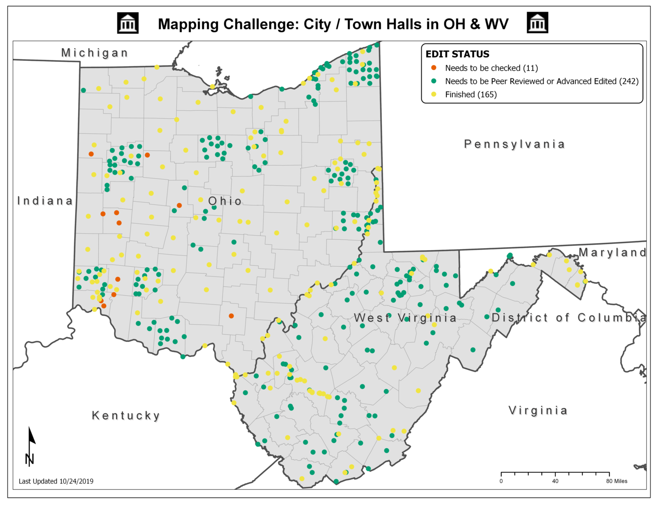
Mapping Challenge Update (10/31/19): City / Town Hall Structures in OH and WV
This challenge is coming along nice and steady! Ohio is especially starting to look nice; points are coming in county-by-county with close to another 100 points added since last week's update!
See our post from 9/30/19 for possible sources of these features. Additional sources may include websites for County Engineers in Ohio and Census.gov's American FactFinder. Be on the look out for an article in our upcoming newsletter for how to to assemble a "checklist" of possible city/town halls with American FactFinder.
Reach out to us at nationalmapcorps@usgs.gov and we're happy to help. Thanks for all you do, and happy mapping!
Get Our News
These items are in the RSS feed format (Really Simple Syndication) based on categories such as topics, locations, and more. You can install and RSS reader browser extension, software, or use a third-party service to receive immediate news updates depending on the feed that you have added. If you click the feed links below, they may look strange because they are simply XML code. An RSS reader can easily read this code and push out a notification to you when something new is posted to our site.


