
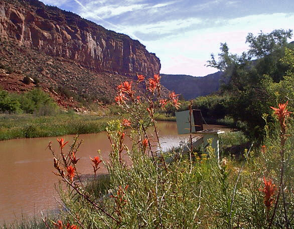
In southwest Colorado, drought, wildfires, mining activities, agriculture, and population growth have altered the landscape from its natural condition. These changes have potentially degraded the water-quality of streams, rivers, reservoirs, and groundwater by introducing or increasing levels of metals, nutrients, synthetic organic chemicals, and sediment.
Recognizing the need to understand how these changes affect the receiving waters, local, State, Tribal, and Federal agencies expressed a desire for a compilation and analysis of existing water-resources information.
A comprehensive, watershed-scale, study was conducted as a result, to update information pertaining to surface-water quality, streamflow, groundwater quality, and water-table elevations in southwest Colorado. This common data repository provides an invaluable contribution to the planning, monitoring, conservation, and management of water resources in southwest Colorado.
OBJECTIVES:
- To compile and characterize existing water-resources data for the Dolores River and San Juan River watersheds.
- To develop a relational database containing information on water-quality and Geographic Information System (GIS) features/coverages.
- To create a Web-based interface to the relational database to streamline sharing of data.
- To identify gaps in the available data and design a water-quality sampling network to fill these gaps.
APPROACH:
Historic surface-water and groundwater quality data, instantaneous streamflow data associated with a water-quality sample, and water-table elevations that are available in electronic form were compiled and screened for the Dolores River and San Juan River watersheds.
- The historic water-quality data and published reports for the Dolores River and San Juan River watersheds will be used to develop an interpretive retrospective analysis. The retrospective analysis will include: a description of the spatial and temporal distribution of physical and chemical data,
- a statistical summary of the data including range, maximum, minimum and mean values,
- a comparison of the historic data to State and Federal water-quality standards,
- an analysis of trends at sites where the length of record is sufficient, and (5) an evaluation of the environmental and cultural factors, such as geology and land use, that affect water quality within the limits of the available data.