
Eyes on Earth Episode 66 - Exotic Annual Grasses
Eyes on Earth podcast
Eyes on Earth is a podcast on remote sensing, Earth observation, land change and science, brought to you by the USGS Earth Resources Observation and Science (EROS) Center. In this episode, we hear about the value of mapping fire-fueling invasive grasses in the Western U.S.
Download and Transcript Access
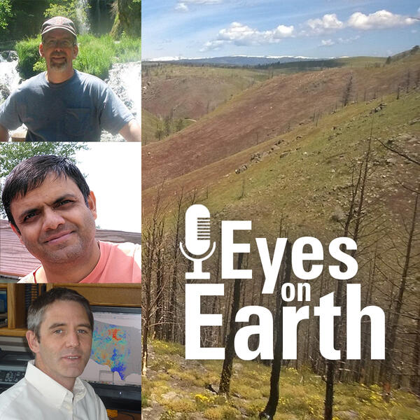
Summary: The rangelands of the western United States are changing more quickly than many other parts of the lower 48. Miles upon miles of the area or semi-arid landscapes in states like Idaho, Montana and Nevada are now carpeted by fire fueling invasive grasses. Cheatgrass is the most prevalent, which is troublesome for several reasons. First off, it greens up and browns down really quickly, leaving a layer of tinder-like vegetation. In many areas, it fills in the formerly barren spaces between thicker bunchgrasses and sagebrush, which in turn helps fires move rapidly from fuel source to fuel source. On this episode of Eyes on Earth, we hear from the USGS EROS teams who use satellite data to map exotic annual grasses and a researcher who uses those maps to create monthly grass abundance estimates for firefighters and land managers.
Guests: Stephen Boyte, USGS EROS research physical scientist, Devendra Dahal, USGS EROS contractor, Matt Reeves, USDA Forest Service ecologist
Host: John Hult
Producer: John Hult
Release date: January 24, 2022
More on Exotic Annual Grasses:
Eyes on Earth is a podcast on remote sensing, Earth observation, land change and science, brought to you by the USGS Earth Resources Observation and Science (EROS) Center. In this episode, we hear about the value of mapping fire-fueling invasive grasses in the Western U.S.
Download and Transcript Access
Summary: The rangelands of the western United States are changing more quickly than many other parts of the lower 48. Miles upon miles of the area or semi-arid landscapes in states like Idaho, Montana and Nevada are now carpeted by fire fueling invasive grasses. Cheatgrass is the most prevalent, which is troublesome for several reasons. First off, it greens up and browns down really quickly, leaving a layer of tinder-like vegetation. In many areas, it fills in the formerly barren spaces between thicker bunchgrasses and sagebrush, which in turn helps fires move rapidly from fuel source to fuel source. On this episode of Eyes on Earth, we hear from the USGS EROS teams who use satellite data to map exotic annual grasses and a researcher who uses those maps to create monthly grass abundance estimates for firefighters and land managers.
Guests: Stephen Boyte, USGS EROS research physical scientist, Devendra Dahal, USGS EROS contractor, Matt Reeves, USDA Forest Service ecologist
Host: John Hult
Producer: John Hult
Release date: January 24, 2022
More on Exotic Annual Grasses: