
Virginia and West Virginia Monitoring Locations
The Water-Monitoring-Site Mapper is an interactive map of Virginia and West Virginia water-monitoring-site locations from the USGS National Water Information System (NWIS). Users can view and download surface water, groundwater, and water quality monitoring data for active sites as well as export spatial and tabular display by county, hydrologic unit code (HUC).
Virginia Water-Monitoring-Site Mapper
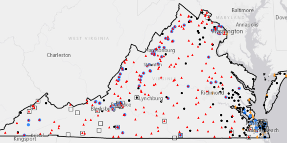
The Virginia Water-Monitoring Site Mapper is an interactive map of Virginia water monitoring-site locations from the USGS National Water Information System. It provides access to surface water, groundwater, and water-quality monitoring data for active sites.
West Virginia Water-Monitoring-Site Mapper

The West Virginia Water-Monitoring Site Mapper is an interactive map of West Virginia water monitoring-site locations from the USGS National Water Information System. It provides access to surface water, groundwater, and water-quality monitoring data for active sites.