
USGS water data expert Garret Welsh measures water flow in the pouring rain at the Straight River near Faribault, Minnesota. This measurement recorded the 6th highest flow in the station's 59-year history, highlighting the severity of current flood conditions. Such data is crucial for emergency managers and forecasters to protect communities at risk.
Multimedia
USGS water webcams
View time-lapse videos and static imagery taken at USGS monitoring sites across the Nation
View time-lapse videos and static imagery taken at USGS monitoring sites across the Nation
Our multimedia gallery represents a collection of high-quality images, videos, webcams, posters, presentations, and documents produced by the Upper Midwest Water Science Center.
Images

USGS Flood Monitoring: Eastern Minnesota
USGS water data expert Garret Welsh measures water flow in the pouring rain at the Straight River near Faribault, Minnesota. This measurement recorded the 6th highest flow in the station's 59-year history, highlighting the severity of current flood conditions. Such data is crucial for emergency managers and forecasters to protect communities at risk.

Two scientists prepare equipment for microplastics sampling effort in Milwaukee
Physical Scientist James Romano and Hydrologist Hailey Trompeter prepare equipment for a microplastics sampling effort in Milwaukee, Wisconsin.
Physical Scientist James Romano and Hydrologist Hailey Trompeter prepare equipment for a microplastics sampling effort in Milwaukee, Wisconsin.

Three scientists prepare equipment for microplastics sampling effort in Milwaukee
Hydrologist Hailey Trompeter, Physical Scientists Kathryn Johncock and James Romano and set up equipment for a microplastics sampling effort in Milwaukee, Wisconsin.
Hydrologist Hailey Trompeter, Physical Scientists Kathryn Johncock and James Romano and set up equipment for a microplastics sampling effort in Milwaukee, Wisconsin.

Scientist holding column during microplastics sampling effort in Milwaukee
Hydrologist Hailey Trompeter holds the column containing the net and water flowing out of the copper flow meter during a microplastics sampling effort in Milwaukee, Wisconsin.
Hydrologist Hailey Trompeter holds the column containing the net and water flowing out of the copper flow meter during a microplastics sampling effort in Milwaukee, Wisconsin.

Field deployed net containing microplastic debris in Milwaukee
The field deployed net containing debris after pumping 400 gallons of stream water through the microplastic sampling system in Milwaukee, Wisconsin.
The field deployed net containing debris after pumping 400 gallons of stream water through the microplastic sampling system in Milwaukee, Wisconsin.

Jar containing water and microplastic debris from a sampling effort in Milwaukee
A sampling jar contains debris found in a sampling net after being rinsed thoroughly during a microplastics sampling effort in Milwaukee, Wisconsin. At this point the sample is ready to be shipped to the lab for analysis.
A sampling jar contains debris found in a sampling net after being rinsed thoroughly during a microplastics sampling effort in Milwaukee, Wisconsin. At this point the sample is ready to be shipped to the lab for analysis.
Videos

Spawning sockeye salmon in Izembek National Wildlife Refuge, Alaska
USGS Upper Midwest Water Science Center hydrologist Laura Hubbard navigates between hundreds of spawning sockeye salmon as she filters water to detect avian influenza virus at Izembek National Wildlife Refuge, Alaska.
USGS Upper Midwest Water Science Center hydrologist Laura Hubbard navigates between hundreds of spawning sockeye salmon as she filters water to detect avian influenza virus at Izembek National Wildlife Refuge, Alaska.

Southern Wisconsin Airborne Electromagnetic Survey 2022
Low-flying helicopter with geophysical equipment loop deployed below it via slingload. In March 2022, a helicopter carried an airborne electromagnetic induction sensor over parts of southeast and southwest Wisconsin as part of a USGS study to map the aquifers in the region.
Low-flying helicopter with geophysical equipment loop deployed below it via slingload. In March 2022, a helicopter carried an airborne electromagnetic induction sensor over parts of southeast and southwest Wisconsin as part of a USGS study to map the aquifers in the region.

Northeast Wisconsin Airborne Electromagnetic Survey 2021 - Panoramic view of equipment on ground
linkGeophysical equipment loop for electromagnetic survey on ground prior to liftoff by helicopter. In January 2021 a helicopter carried an airborne electromagnetic induction sensor over parts of northeastern Wisconsin as part of a USGS study to map the aquifers in the region.
")
Monitoring Stormwater and Green Infrastructure (Gary City Hall, Ind.)
This time-lapse video shows the construction of the new Gary City Hall parking lot and rain garden in Gary, Indiana. The City of Gary is utilizing green infrastructure in their redevelopment projects in the hopes of reducing the amount stormwater runoff that enters their storm-sewer system and, eventually, Lake Michigan.
This time-lapse video shows the construction of the new Gary City Hall parking lot and rain garden in Gary, Indiana. The City of Gary is utilizing green infrastructure in their redevelopment projects in the hopes of reducing the amount stormwater runoff that enters their storm-sewer system and, eventually, Lake Michigan.
")
Edge-of-Field Monitoring Using Depth-Integrated Sample Arm (DISA)
During edge-of-field monitoring of an agricultural field runoff event, a depth-integrated sample arm (DISA) is used to take a water sample at the same time a traditional water sample is taken from an intake located at the bottom of the H-flume exit, where the water is assumed to be completely mixed.
During edge-of-field monitoring of an agricultural field runoff event, a depth-integrated sample arm (DISA) is used to take a water sample at the same time a traditional water sample is taken from an intake located at the bottom of the H-flume exit, where the water is assumed to be completely mixed.

Dave Krabbenhoft discusses his career of mercury research
Dave Krabbenhoft discusses the history of his 28-year career at the USGS.
Dave Krabbenhoft discusses the history of his 28-year career at the USGS.
Webcams
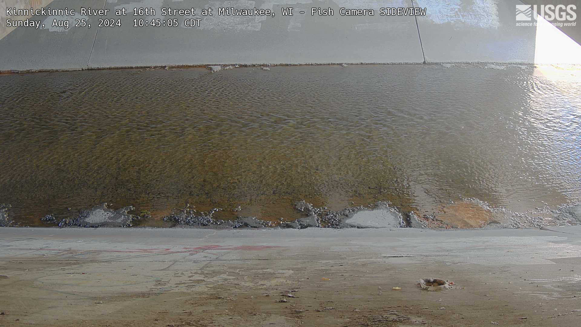
Kinnickinnic River at 16th Street at Milwaukee, WI - Fish Camera SIDEVIEW
Webcam for fish observation at streamgage 11111111, Kinnickinnic River at 16th Street at Milwaukee, WI: https://waterdata.usgs.gov/monitoring-location/11111111/
Webcam for fish observation at streamgage 11111111, Kinnickinnic River at 16th Street at Milwaukee, WI: https://waterdata.usgs.gov/monitoring-location/11111111/
Kinnickinnic River at 16th Street at Milwaukee, WI - Fish Camera DOWN LOOKING
Webcam for fish observation at streamgage 11111111, Kinnickinnic River at 16th Street at Milwaukee, WI: https://waterdata.usgs.gov/monitoring-location/11111111/
Webcam for fish observation at streamgage 11111111, Kinnickinnic River at 16th Street at Milwaukee, WI: https://waterdata.usgs.gov/monitoring-location/11111111/
Little Menomonee River near Freistadt, Wisconsin Fish Camera
Webcam for fish observation at streamgage 04087050, Little Menomonee River near Freistadt, Wisconsin: https://waterdata.usgs.gov/monitoring-location/04087050/
Webcam for fish observation at streamgage 04087050, Little Menomonee River near Freistadt, Wisconsin: https://waterdata.usgs.gov/monitoring-location/04087050/
Menomonee River at Wauwatosa, Wisconsin above water fish camera
Webcam for fish observation at streamgage 04087120, Menomonee River at Wauwatosa, Wisconsin: https://waterdata.usgs.gov/monitoring-location/04087120/
Webcam for fish observation at streamgage 04087120, Menomonee River at Wauwatosa, Wisconsin: https://waterdata.usgs.gov/monitoring-location/04087120/
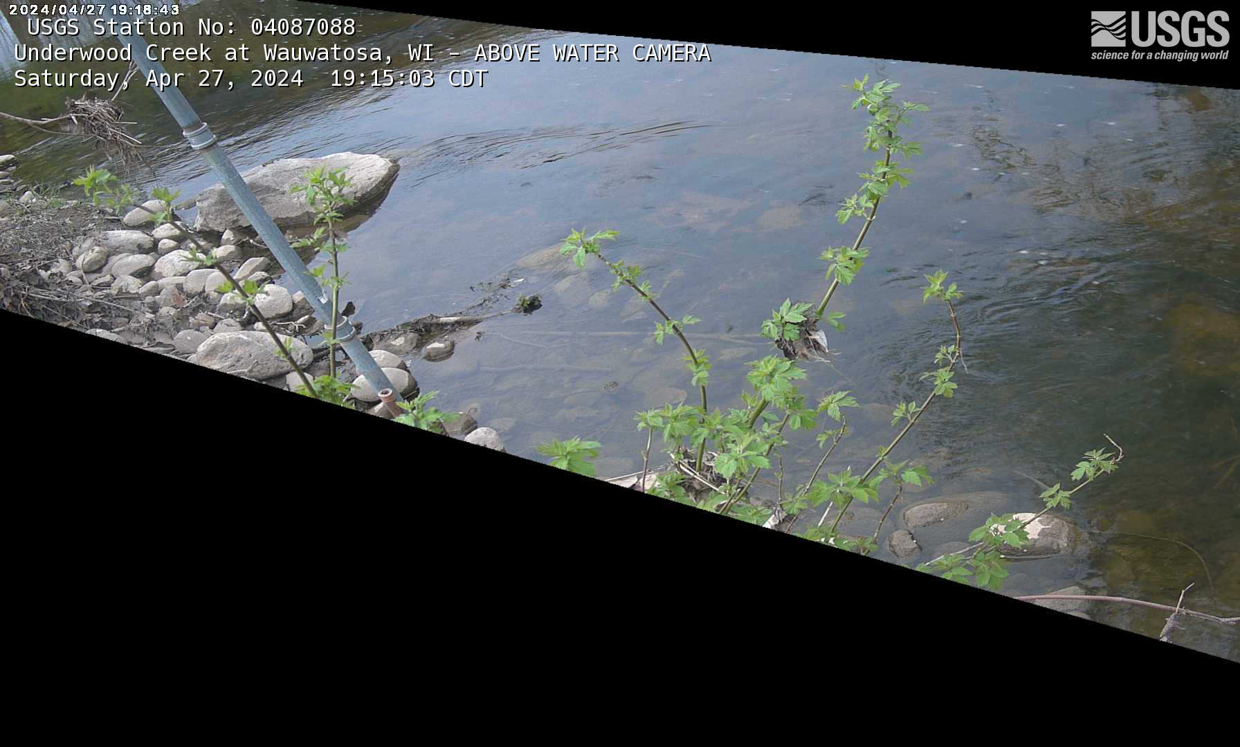
Underwood Creek at Wauwatosa, Wisconsin above water fish camera
Webcam for fish observation at streamgage 04087088, Underwood Creek at Wauwatosa, Wisconsin: https://waterdata.usgs.gov/monitoring-location/04087088/
Webcam for fish observation at streamgage 04087088, Underwood Creek at Wauwatosa, Wisconsin: https://waterdata.usgs.gov/monitoring-location/04087088/
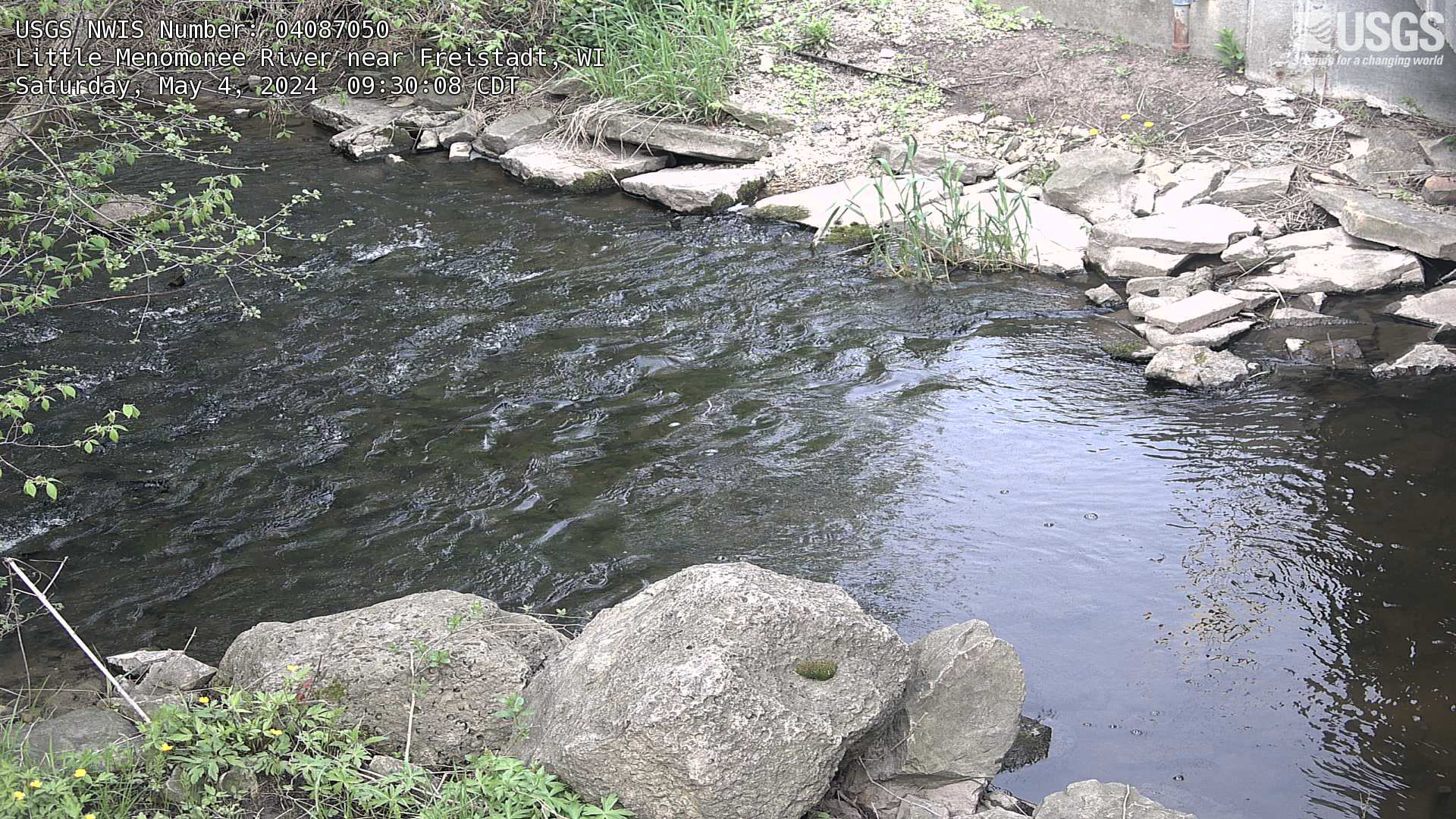
Streamgage at Little Menomonee River near Freistadt, Wisconsin
Webcam at streamgage at Little Menomonee River near Freistadt, Wisconsin. https://waterdata.usgs.gov/monitoring-location/04087050/
Webcam at streamgage at Little Menomonee River near Freistadt, Wisconsin. https://waterdata.usgs.gov/monitoring-location/04087050/