
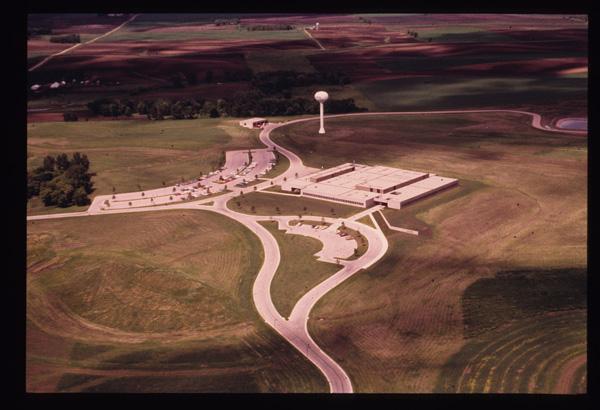
1973 - Aerial Image of EROS 1
By EROS History Project
1973 (approx.)
Detailed Description
The completion of the EROS Data Center, support building, water tower, and parking lots - EROS History Project
Sources/Usage
Public Domain.