
3D Hydrography Program Transition Timelines Video Thumbnail
Detailed Description
3D Hydrography Program Transition Timelines Hydrography Community Call Video Thumbnail
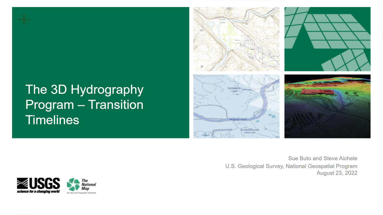
The USGS is developing the 3D Hydrography Program (3DHP) as the surface water mapping component of the new 3D National Topography Model (3DNTM.) The 3DHP will provide critical data to support a broad range of national, regional, and local applications such as flood forecasting and response, agricultural planning, infrastructure design, stream ecology research and management, and water quality studies. This presentation provides an update on 3DHP plans including timelines for transitioning the current hydrography program to 3DHP starting in federal fiscal year 2023.
Sources/Usage
Public Domain.