3DEP, elevation slope

Detailed Description
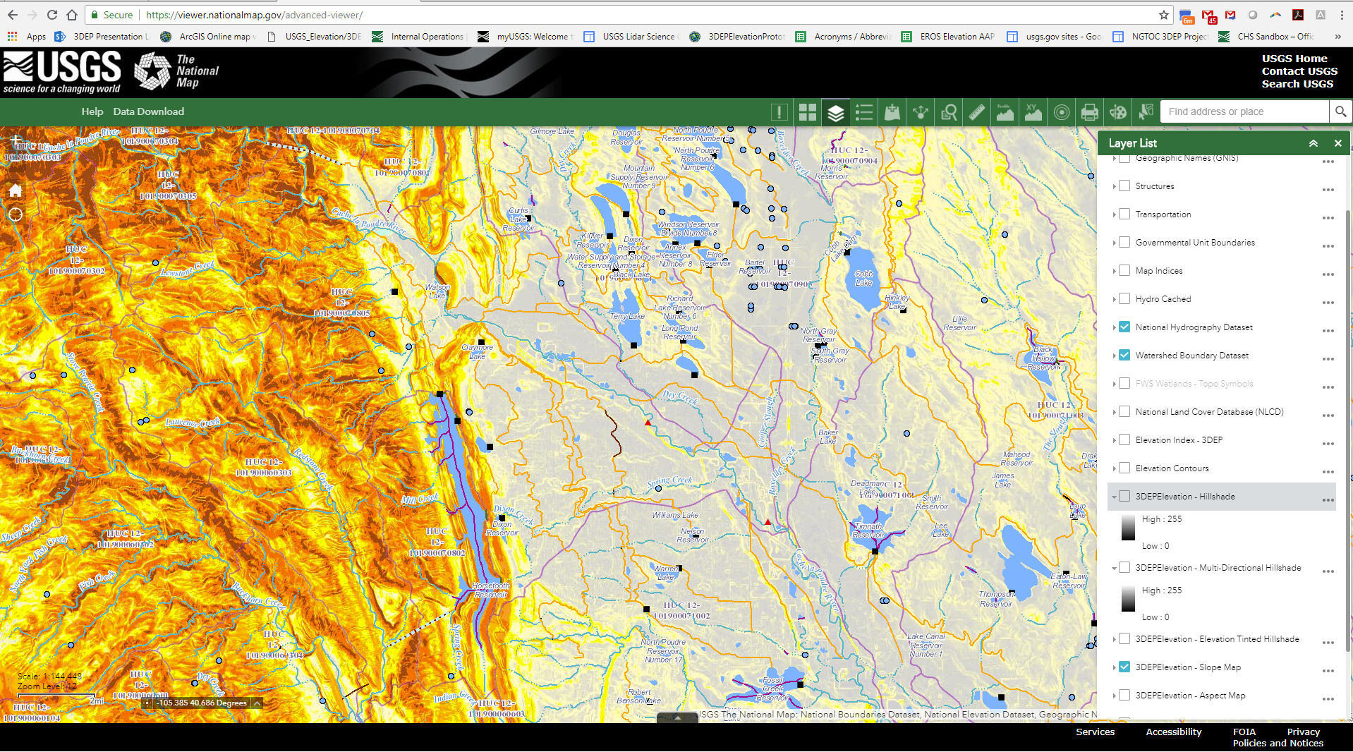
Elevation slope rendered with the National Hydrography Data set in The National Map Viewer.
Sources/Usage
Public Domain.

Official websites use .gov
A .gov website belongs to an official government organization in the United States.
Secure .gov websites use HTTPS
A lock () or https:// means you’ve safely connected to the .gov website. Share sensitive information only on official, secure websites.
Elevation slope rendered with the National Hydrography Data set in The National Map Viewer.
Public Domain.