
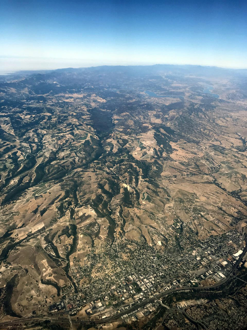
Aerial View of Paso Robles, CA
By California Water Science Center
2020 (approx.)
Detailed Description
View of Paso Robles and the Adelaida area near the central California coast as taken from an airplane flying overhead.
Sources/Usage
Public Domain.