
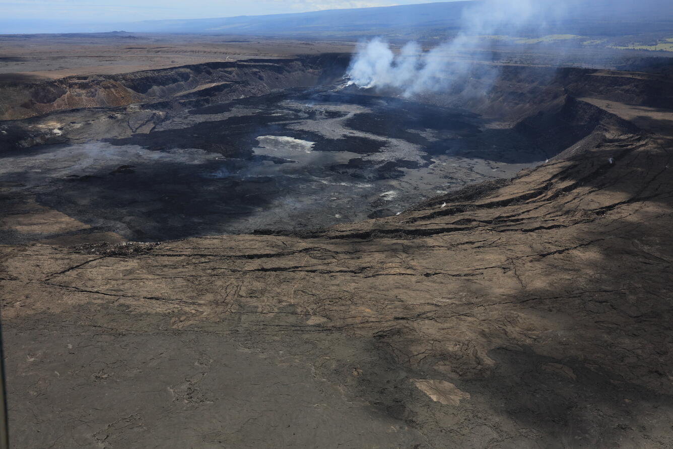
April 2, 2025 — Aerial overview of Kīlauea's summit
Detailed Description
During a monitoring flight on April 2, 2025, USGS Hawaiian Volcano Observatory geologists captured this aerial view of Halemaʻumaʻu, within Kaluapele (Kīlauea summit caldera), just after the end of episode 16 of the ongoing eruption. The cracks in the foreground were created in 2018 when the caldera partially collapse, while the growing cones around the degassing vents are visible in the background, with new lava flows covering the floor of Halemaʻumaʻu. USGS photo by K. Lynn.
Sources/Usage
Public Domain.