
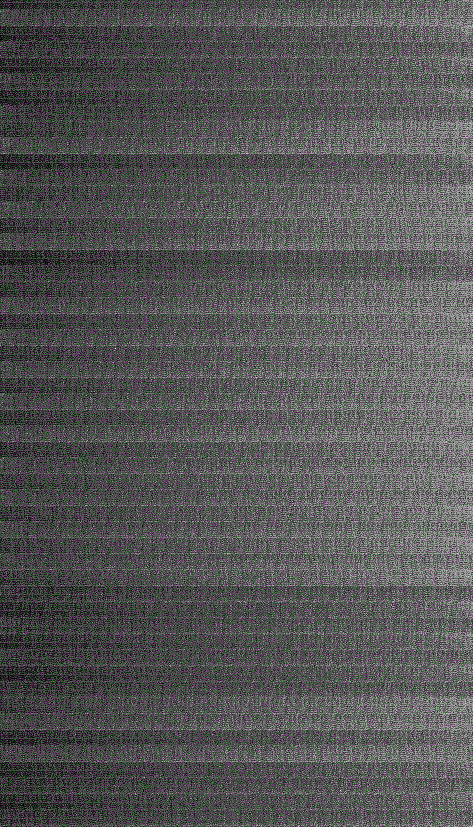
Banding due to Scan Correlated Shift (SCS) in Landsat 5 TM Band 3
Detailed Description
Banding is a known issue in Landsat 4-5 Thematic Mapper (TM) Level-1 data. This image shows banding due to Scan Correlated Shift (SCS) in Landsat 5 TM, Band 3.
See https://www.usgs.gov/land-resources/nli/landsat/banding for more information.
Sources/Usage
Public Domain.