
Cascadia Margin study area_Demopoulos.jpg
Detailed Description
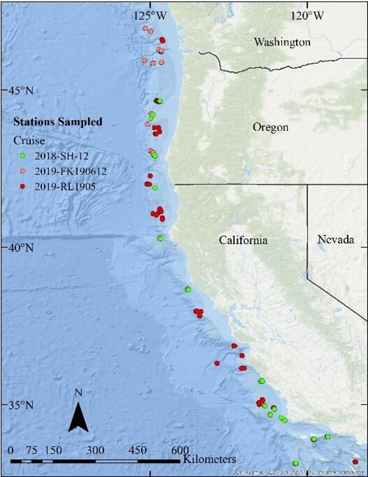
The map illustrates the broader Cascadia Margin, which encompasses the study area for this project. The colored dots represent sampling locations from three research expeditions off the western U.S. from 2018-2019.
Sources/Usage
Public Domain.