
Day 3 - IMNA participant working sessions
Detailed Description
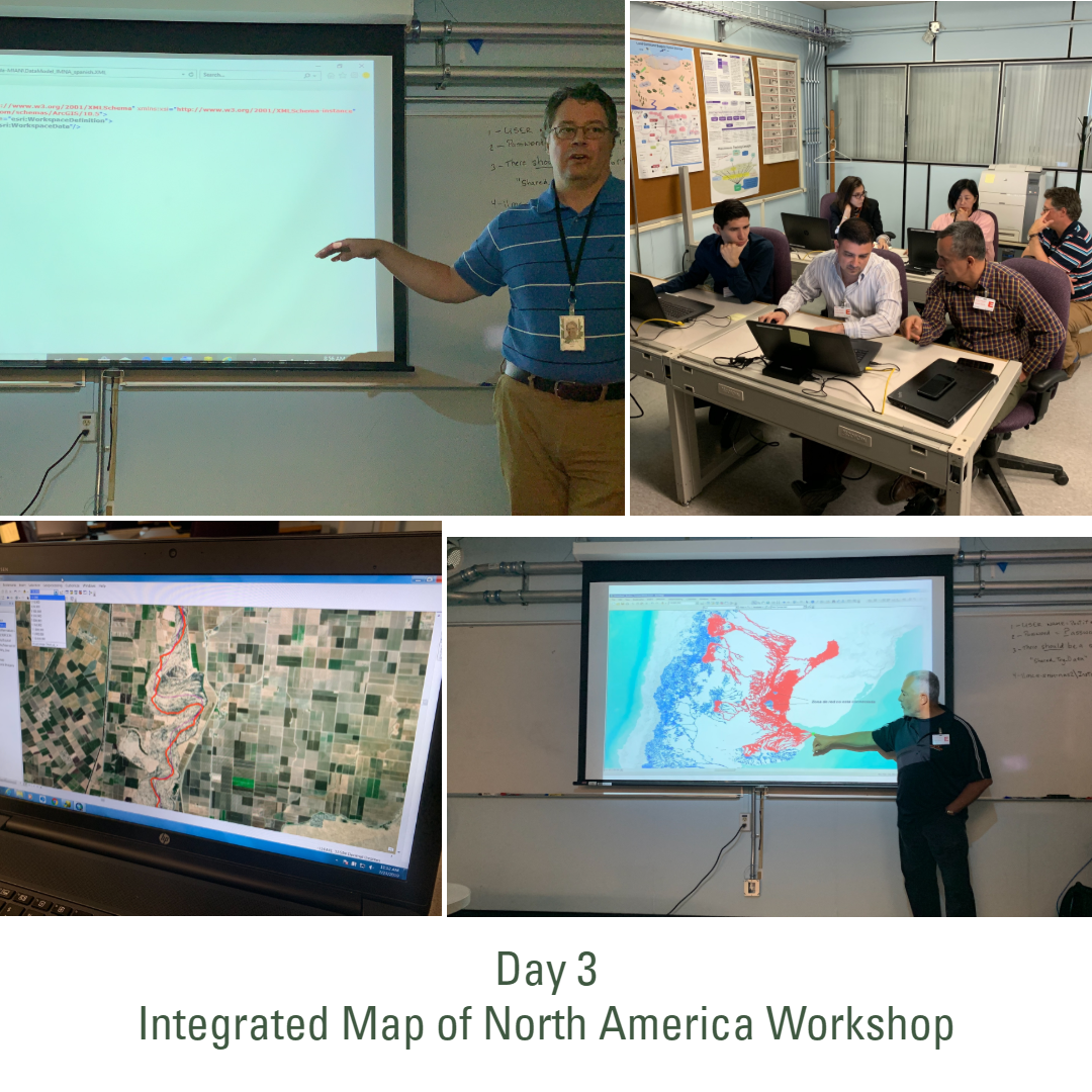
Day 3 IMNA Workshop - (L to R, clockwise) Scott Tweedy (NRCanada) discussing; Front row: Sergio Rodriguez (USGS), Abrahim Guerrero and Eufracio Zavala (INEGI), Back row: Elaine Guidero (USGS), Nancy Wong and Scott Tweedy (NRCanada) during the working session; Roberto Lugo (PAIGH) discussing Hydrography data; A view of mismatched hydrography gis data along the MX/US border.
Representatives from the national mapping agencies of Canada (Natural Resources Canada (NRCan)), Mexico (Instituto Nacional de Estadística y Geografía (INEGI)), and the United States (U.S. Geological Survey (USGS)), met in Ottawa, Canada to begin integrating data products from each country into an Integrated Map of North America (INMA). This workshop was facilitated and sponsored by the Pan American Institute of Geography and History (PAIGH), building upon successful past workshops in Central and South America.
Sources/Usage
Public Domain.