
DEMO: Working with Rasters in ArcGIS Pro
Detailed Description
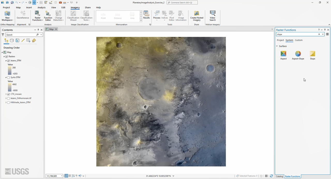
In this demonstration video, you will learn the basics of working with rasters in ArcGIS Pro, beginning with adding raster data to a map project and modifying its display properties and symbology. You will also learn how to create, add rasters to, and work with a mosaic dataset using a collection of CTX images over Jezero crater and Nili Planum, Mars, and how to use both geoprocessing tools and raster functions to process and analyze raster data.
Sources/Usage
Public Domain.