
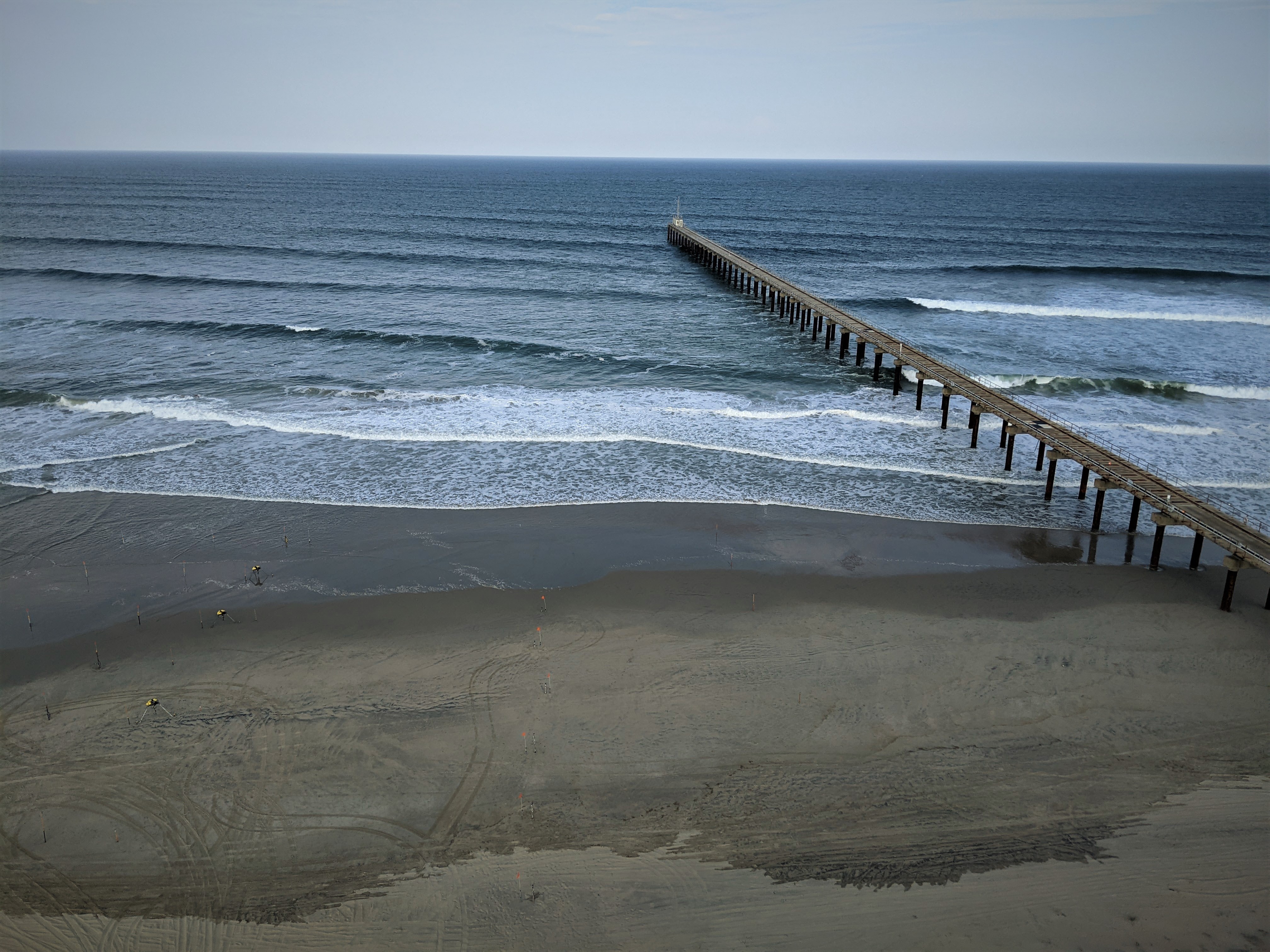
DUNEX instruments and FRF pier

Detailed Description
Metal poles and equipment will installed on the beach and in the surf zone near the Army Corps of Engineers Field Research Facility pier near Kitty Hawk, North Carolina. The poles extend about 5 feet above the ground or seabed, to support instruments that continuously measure wave heights, water levels, and currents using acoustics.
These instruments are part of the DUring Nearshore Event eXperiment (DUNEX) project. DUNEX is a multi-agency, academic, and non-governmental organization (NGO) collaborative community experiment designed to study nearshore coastal processes during storm events. USGS' participation in DUNEX will contribute new measurements and models that will increase our understanding of storm impacts to coastal environments, including hazards to humans and infrastructure and changes in landscape and natural habitats. The data will help evaluate and improve the models used to forecast coastal water levels and storm impacts.
Sources/Usage
Public Domain.