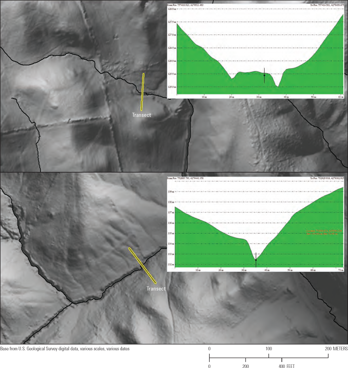
EDH Data Acquisition Specifications Figure 17

Detailed Description
Elevation-Derived Hydrography Data Acquisition Specifications Report Figure 17: Two cross-sectional views of transects intersecting two stream/river segments. A. This stream/river segment has deviated horizontally from the main channel but is still vertically integrated with the elevation surface. B. This segment is well integrated vertically and horizontally with the lidar-derived surface. Both segments’ elevation values are within 0.1 meter of the elevation values of the surface.
Sources/Usage
Public Domain.

