
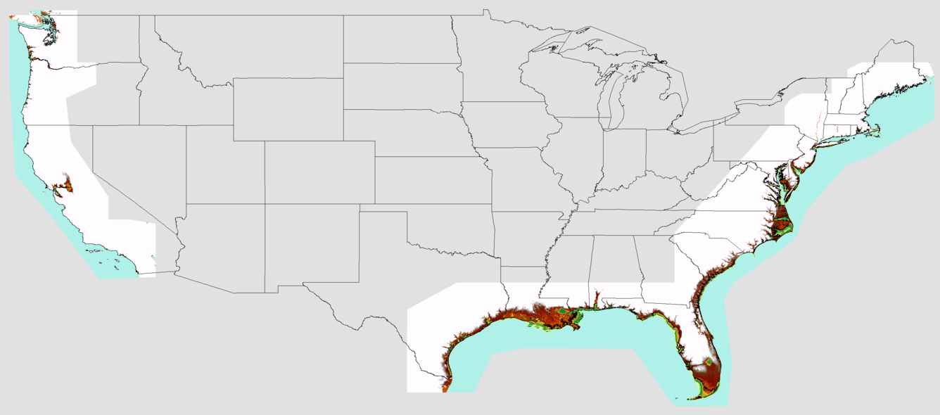
Elevation Model
By Coastal and Marine Hazards and Resources Program
2017 (approx.)
Detailed Description
Basemap of the United States with an overview image of elevation models
Sources/Usage
Public Domain.