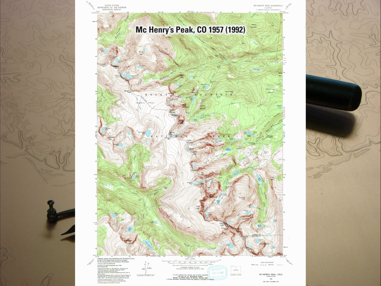
Example map from the 7.5-minute, 1:24,000-scale historical USGS topographic map series
By National Geospatial Program
August 2022 (approx.)

Detailed Description
Example map from the 7.5-minute, 1:24,000-scale historical USGS topographic map series released between 1884 and 2006. Example quad is McHenry's Peak, Colorado 1957 (1992). Visit Historical Topographic Maps - Preserving the Past for more information.
Sources/Usage
Public Domain.

