
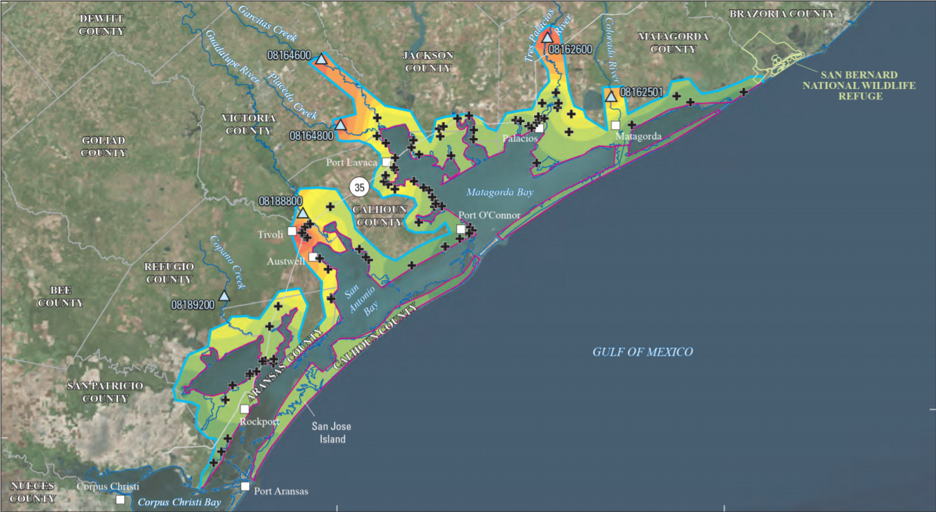
Flood-inundation map from coastal water-surface elevation data, Hurric

Detailed Description
Flood-inundation map from coastal water-surface elevation data for the August and September 2017 Hurricane Harvey-related flood event in southeastern Texas and southwestern Louisiana.
Sources/Usage
Public Domain.
USGS Scientific Investigations Report 2018-5070
Figure 22. Flood-inundation map from coastal water-surface elevation data for the August and September 2017 Hurricane Harvey-related flood
event in southeastern Texas and southwestern Louisiana.