
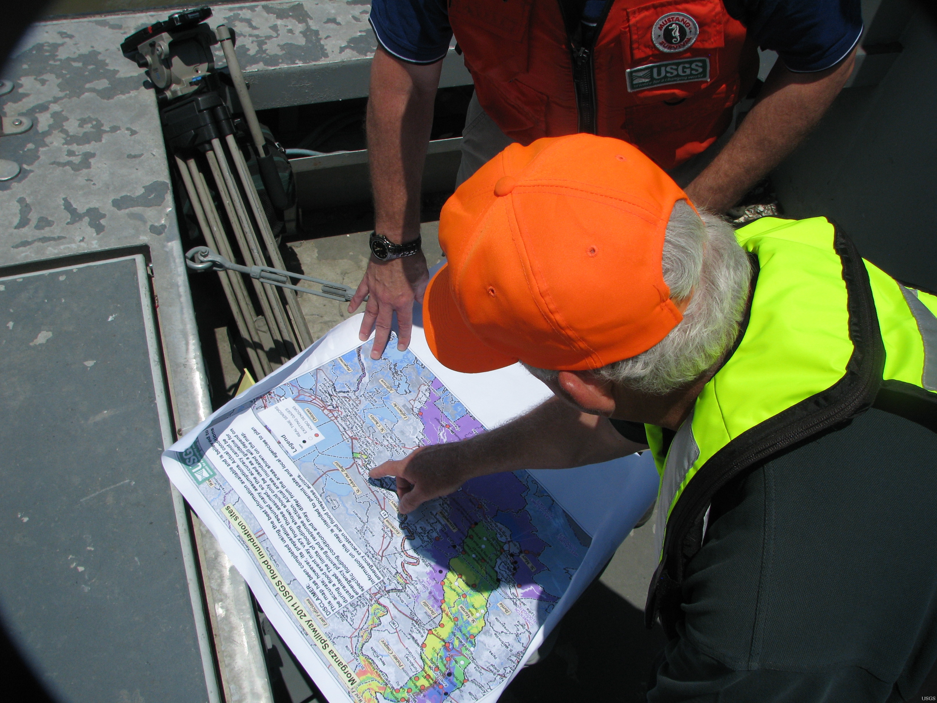
George Arcement Shows Locations of USGS Streamgages

Detailed Description
USGS Louisiana Water Science Center Director George Arcement shows the locations of USGS' streamgage network to WAFB Meteorologist Jay Grymes. USGS maintains more than 30 real-time streamgages throughout the area affected by the 2011 Flood. In addition, more than 50 non-real-time gages were deployed to areas that are expected to become so inundated that regular real-time streamgages would be damaged or rendered inoperative. These additional gages will record information that can later be analyzed. This operational procedure is also followed during hurricanes.
Sources/Usage
Public Domain.