
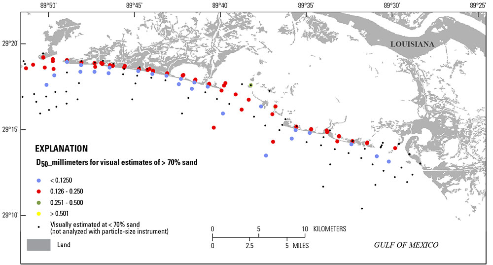
Grain sizes of surficial-sediment samples

Detailed Description
Map showing locations and grain sizes of surficial-sediment samples collected for the State of Louisiana Barrier Island Comprehensive Monitoring (BICM) program along one stretch of the modern Mississippi River Delta (modified from BICM Volume 6).
Sources/Usage
Public Domain.