
Heather Tollerud research graphic
By Earth Resources Observation and Science (EROS) Center
2020 (approx.)
Detailed Description
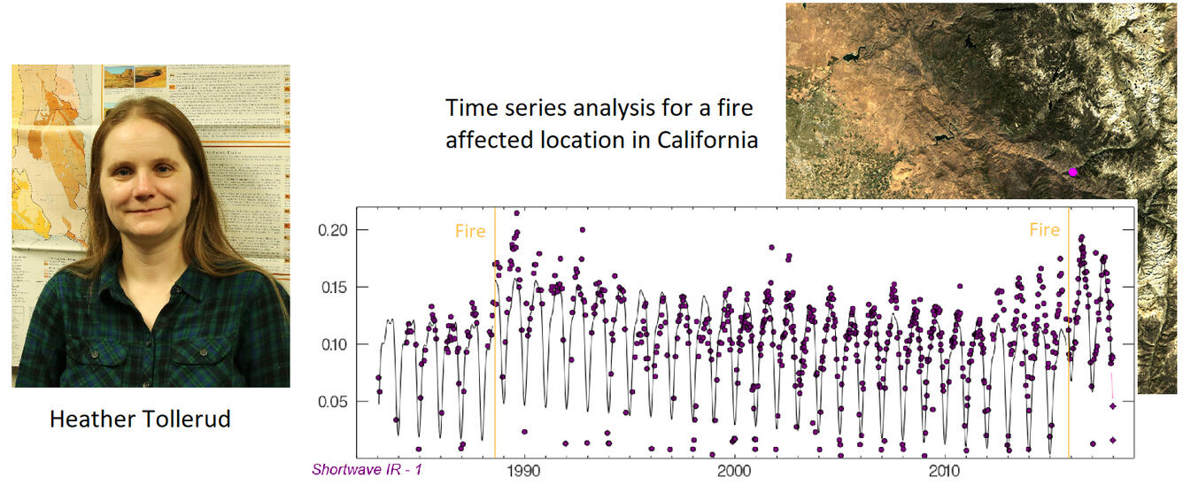
The USGS Land Cover Monitoring, Assessment, and Projection (LCMAP) initiative utilizes a time series of Landsat images.
Sources/Usage
Public Domain.