
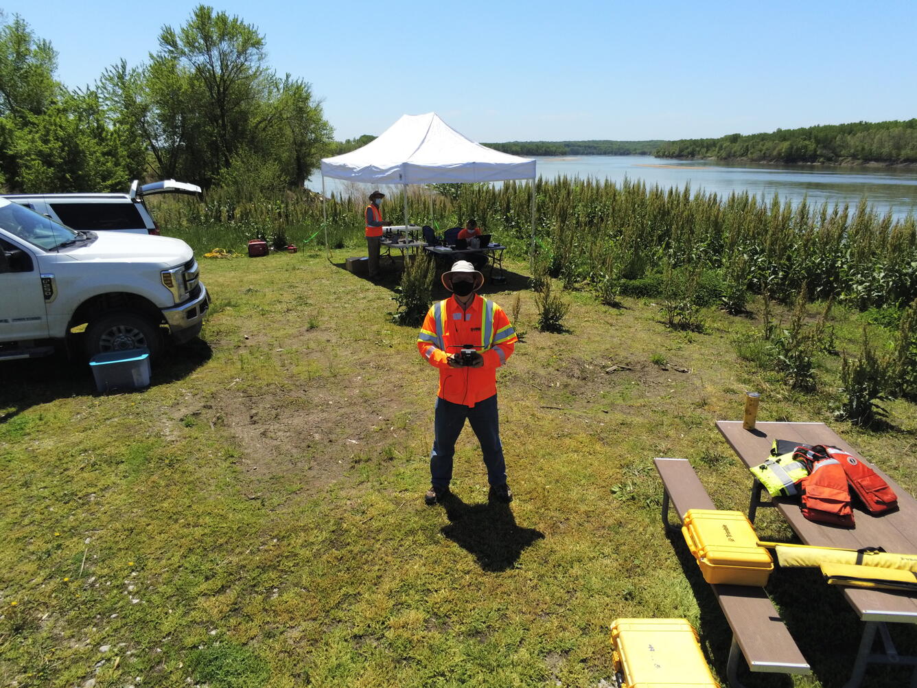
Image taken from a UAS sensor of it's USGS remote pilot during a Missouri River dye-trace assessment mission
By Geosciences and Environmental Change Science Center
May 2021 (approx.)
Detailed Description
Image taken from a UAS sensor of it's USGS remote pilot Matt Burgess during a Missouri River dye-trace assessment mission
The NUSO, Columbia Environmental Research Center, U.S. Army Corps of Engineers, and Missouri University of Science and Technology researchers conducted a Missouri River dye-trace assessment in May 2021 to support natural hazards research of high river flow events and associated effects on endangered species.
Sources/Usage
Public Domain.