
Interactive map of Jezero Crater, Mars, the Perseverance Rover Landing
Detailed Description
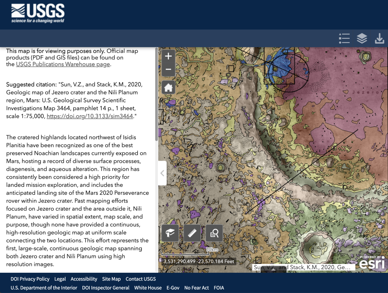
The cratered highlands located northwest of Isidis Planitia have been recognized as one of the best-preserved Noachian landscapes currently exposed on Mars, hosting a record of diverse surface processes, diagenesis, and aqueous alteration. This region has consistently been considered a high priority for landed mission exploration and includes the anticipated landing site of the Mars 2020 Perseverance rover within the Jezero crater. Past mapping efforts focused on the Jezero crater and the area outside it, Nili Planum, have varied in spatial extent, map scale, and purpose, though none have provided a continuous, high-resolution geologic map at a uniform scale connecting the two locations. This effort represents the first, large-scale, continuous geologic map spanning both Jezero crater and Nili Planum using high-resolution images.
Sources/Usage
Public Domain.
Geologic map of Jezero crater and the Nili Planum region, Mars: U.S. Geological Survey Scientific Investigations Map 3464
Suggested citation: "Sun, V.Z., and Stack, K.M., 2020, Geologic map of Jezero crater and the Nili Planum region, Mars: U.S. Geological Survey Scientific Investigations Map 3464, pamphlet 14 p., 1 sheet, scale 1:75,000, https://doi.org/10.3133/sim3464."