
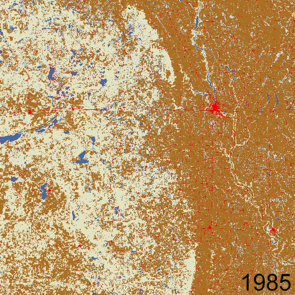
Land Cover Change - east-central North Dakota (h15v04)
By Land Change Monitoring, Assessment, and Projection
2019 (approx.)
Detailed Description
Animation of Primary Land Cover for LCMAP tile h15v04, over east central North Dakota.
Sources/Usage
Public Domain.