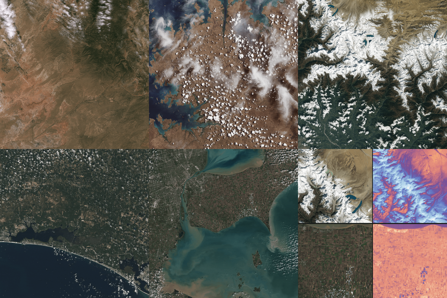
Landsat 9 First Light Images

Detailed Description
Landsat 9 launched into space on September 27th, 2021. The "first light" images arrived on October 31st. On that day the satellite captured: algal blooms in Lake Erie, the glaciers of the Himalayas, bush fires in Australia's Eucalypt Woodlands, coastal communities on the Florida panhandle, and deserts, mountains and mesas across the Navajo Nation. Imagery from Landsat 9 will maintain and extend the Landsat program's nearly 50 year record of Earth surface change. The new data stream was made available to the public in early 2022.
Find individual images at the following locations:
- Navajo Nation
- Western Australia
- The Himalayas of Nepal
- Florida Panhandle
- Detroit & Lake Erie
- Detail of OLI instrument and TIRS instruments
Sources/Usage
Public Domain.

