
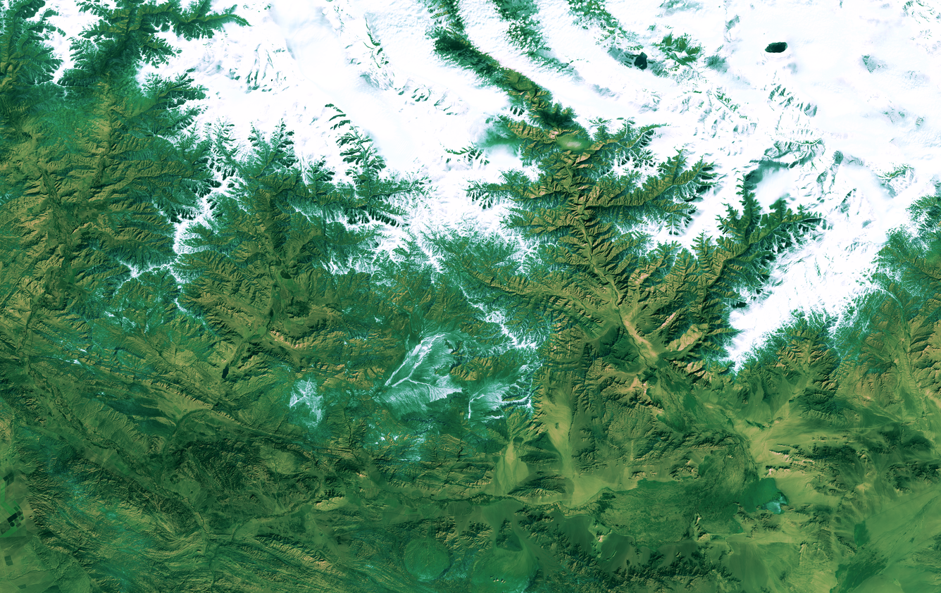
Landsat 9 Image of China-Mongolia Border
Detailed Description
Landsat 9 image of the China-Mongolia border, showing parts of the autonomous region of Xinjiang, China, and Khovd Province, Mongolia.
Image date: October 23, 2024
Path 141, Row 28
A recent Landsat 9 image of eastern China and western Mongolia bears a striking resemblance to a majestic snow-flocked balsam fir. This festive scene depicts the most southerly reaches of the Altai Mountains, the Bulgan Gol-Ikh Ongog National Park, and a stretch of the Bulgan River Valley. The Bulgan River and its riparian zones provide important habitat for various migratory waterbirds and shorebirds, including several globally threatened species. Portions of the floodplain are not only designated as an Important Bird Area (IBA), but there is also a nature reserve that safeguards the remaining populations of the Sino-Mongolian beaver. This rare Eurasian beaver species is only found in the Ulungur watershed of China and Mongolia, and the latest counts from China showed that there are only 162 beaver families and 510 beavers in the autonomous region of Xinjiang.
Sources/Usage
Public Domain.