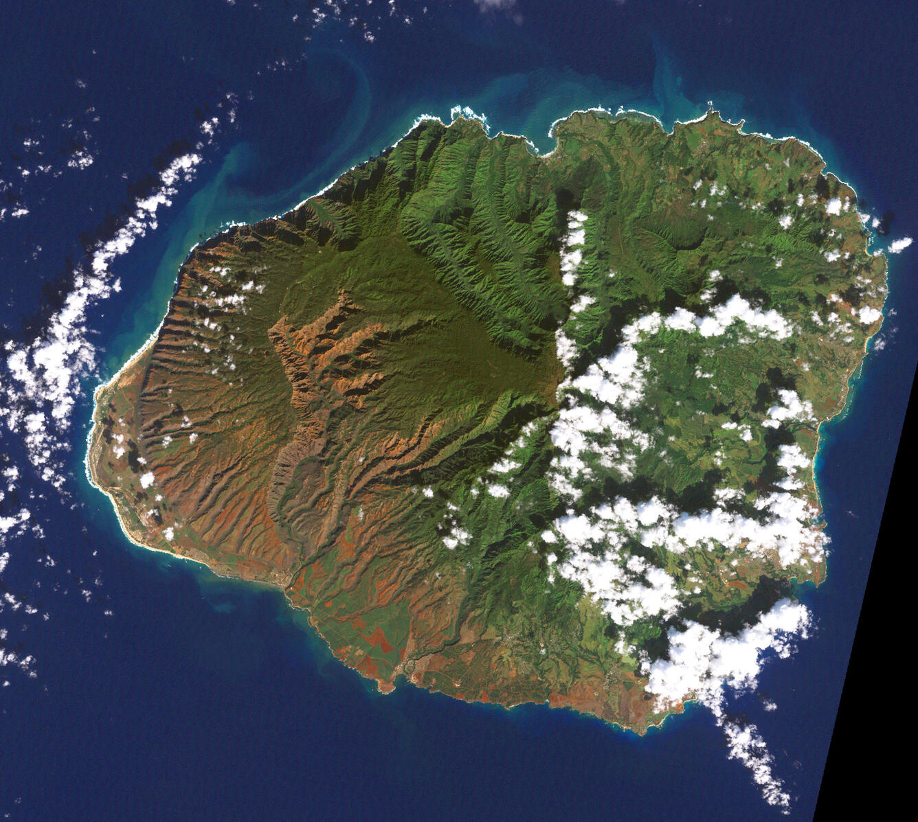
Landsat satellite image of Kauaʻi
Detailed Description
This image was acquired on December 26, 2000, by the Enhanced Thematic Mapper plus instrument aboard NASA’s Landsat 7 satellite.
Sources/Usage
Public Domain.

Official websites use .gov
A .gov website belongs to an official government organization in the United States.
Secure .gov websites use HTTPS
A lock () or https:// means you’ve safely connected to the .gov website. Share sensitive information only on official, secure websites.
This image was acquired on December 26, 2000, by the Enhanced Thematic Mapper plus instrument aboard NASA’s Landsat 7 satellite.
Public Domain.