
LCMAP Workshop introduction

Detailed Description
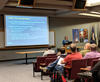
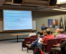
Jesslyn Brown, project lead for Land Change Monitoring, Assessment, and Projection (LCMAP), welcomes attendees of a fall workshop at the USGS Earth Resources Observation and Science (EROS) Center. LCMAP is beginning production on Version One of LCMAP products and datasets.
Sources/Usage
Public Domain.