
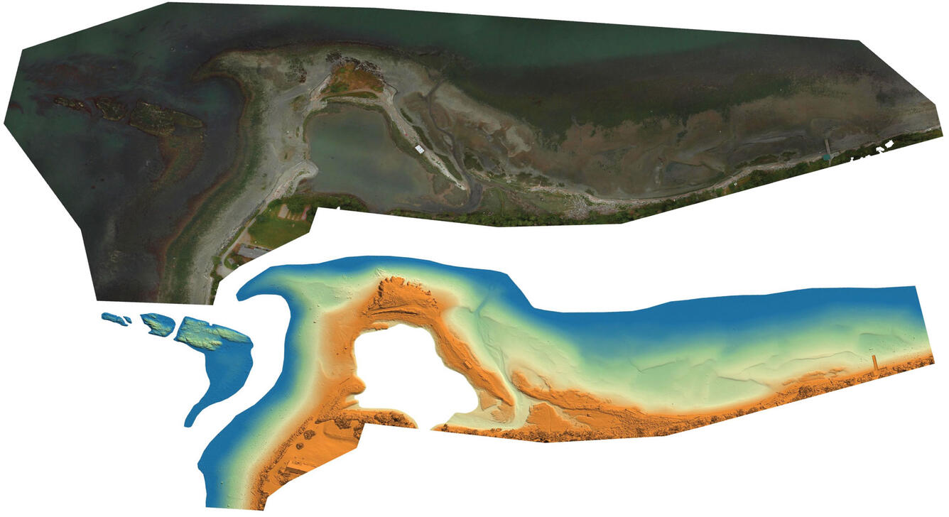
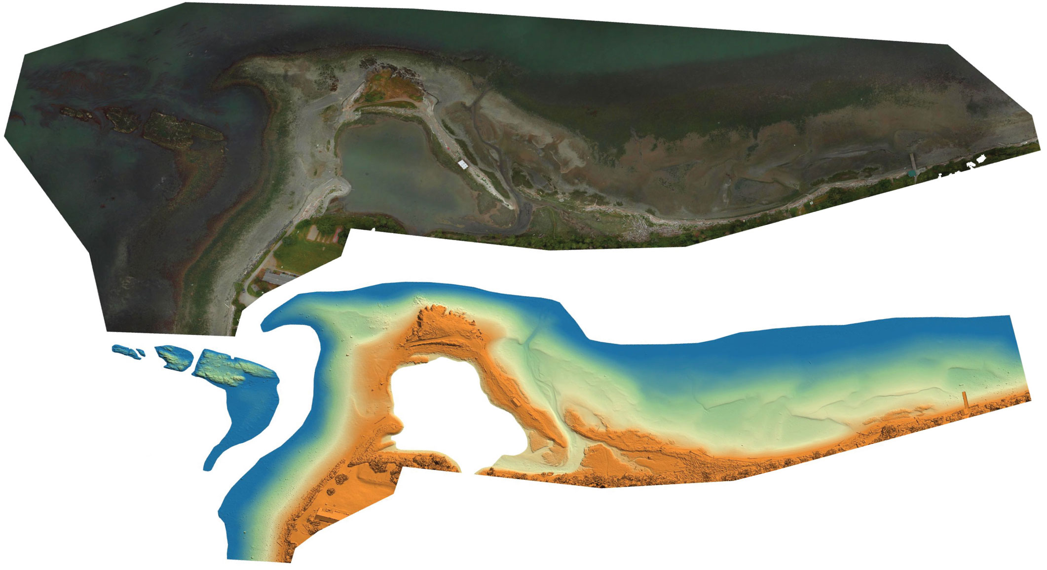
Lone Tree Point, Kiket Bay, Washington high-resolution imagery
Detailed Description
An unmanned aerial system (UAS) was used to acquire high-resolution imagery of the intertidal zone at Lone Tree Point, Kiket Bay, Washington on June 5, 2019. This imagery was processed using structure-from-motion (SfM) photogrammetric techniques to derive a high-resolution digital surface model (DSM), orthomosaic imagery, and topographic point clouds.
Sources/Usage
Public Domain.
USGS data release
Aerial imagery and structure-from-motion data products from UAS survey of the intertidal zone at Lone Tree Point, Kiket Bay, WA, June 2019