
Look Angles and Coverage Area
By Earth Resources Observation and Science (EROS) Center
2005 (approx.)
Detailed Description
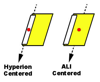
The Hyperion footprint is shifted approximately 1.7 km west, with respect to the ALI footprint.
Sources/Usage
Public Domain.