
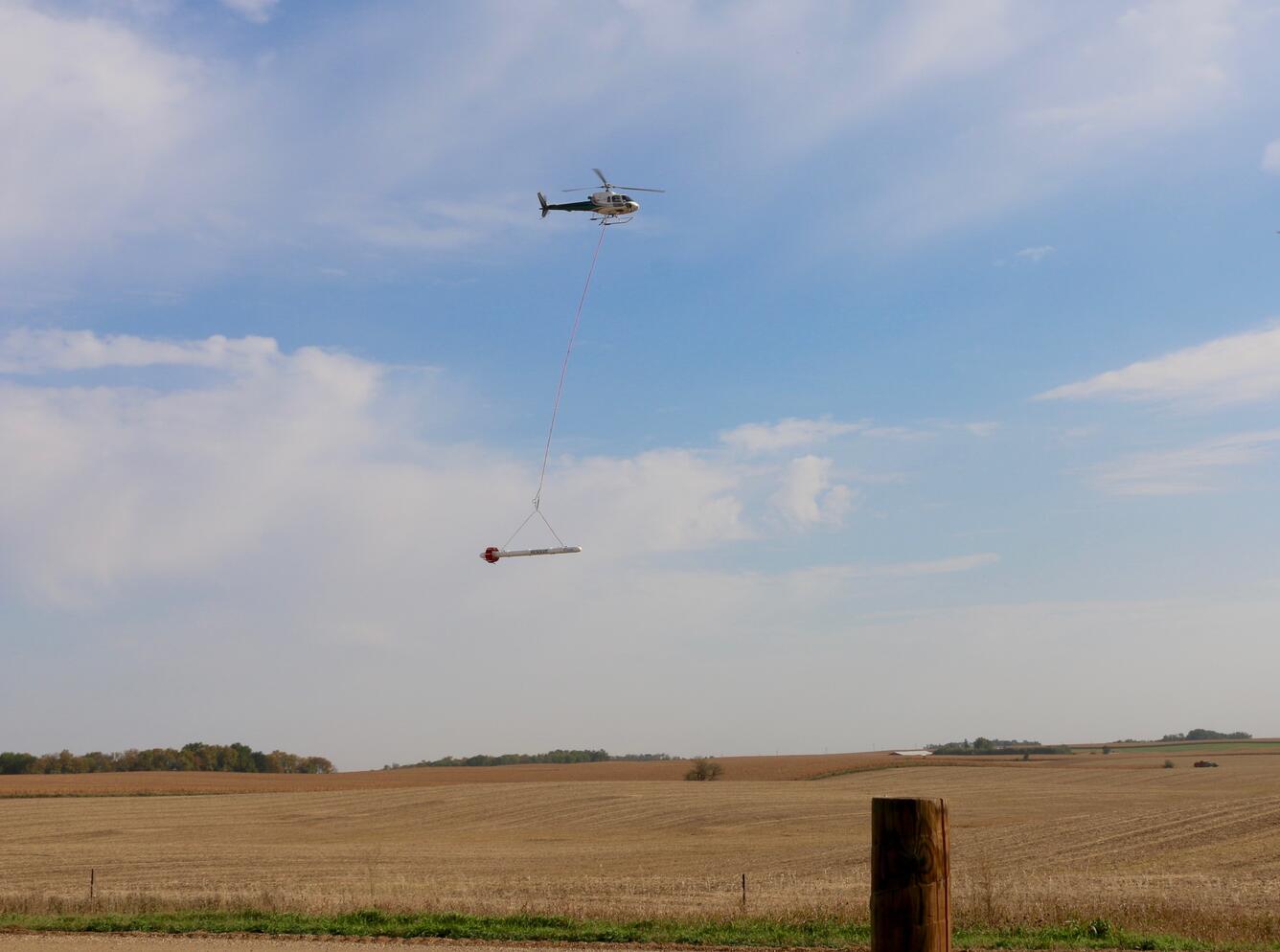
Low-flying helicopter survey
By Communications and Publishing
2015 (approx.)
Detailed Description
The USGS conducts low-level helicopter flights to study the below-surface geology of various locations throughout the nation. These helicopters often tow a large, cylindrical sensor, which remotely captures underground data. Such surveys help scientists and managers better understand natural resources, such as aquifers and available groundwater.
Sources/Usage
Public Domain.