
Map of North Atlantic and Gulf Stream
By Ecosystems Land Change Science Program
November 2021 (approx.)

Detailed Description
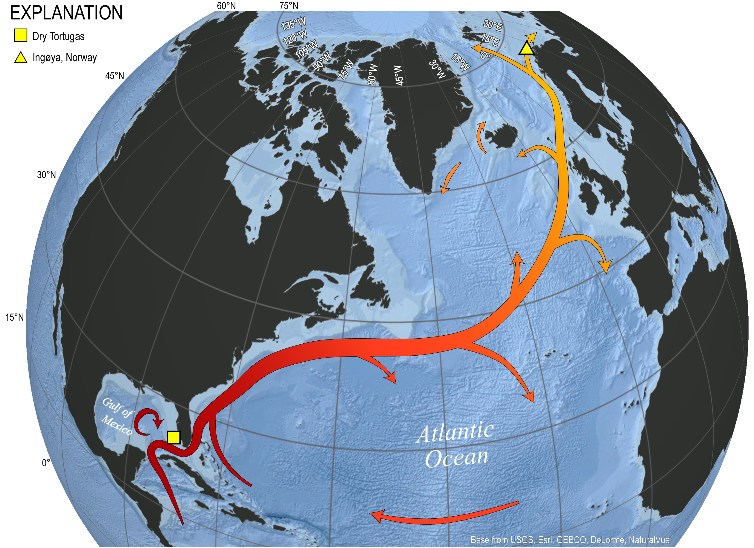
Figure 3. Map of the North Atlantic Ocean illustrating the approximate path of the Gulf Stream / North Atlantic Current system. Also labeled are study sites within the Gulf of Mexico (Dry Tortugas) and Barents Sea (Ingøya, Norway) representing southern and northern endmembers for paleoclimate research targeting reconstruction of Late Holocene surface ocean dynamics.
Sources/Usage
Public Domain.
Credit: Madelyn Mette, USGS