Map of Rodgers Creek Fault

Detailed Description
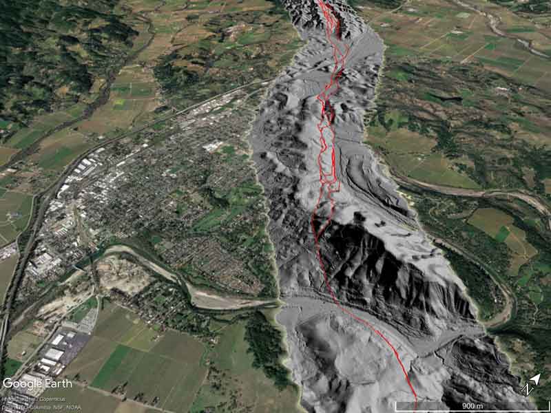
A Google Earth™ image showing the principal zone of faulting (in red) near the town of Healdsburg, overlain on a hillshade image from a LiDAR survey along the fault.
Sources/Usage
Public Domain.

Official websites use .gov
A .gov website belongs to an official government organization in the United States.
Secure .gov websites use HTTPS
A lock () or https:// means you’ve safely connected to the .gov website. Share sensitive information only on official, secure websites.
A Google Earth™ image showing the principal zone of faulting (in red) near the town of Healdsburg, overlain on a hillshade image from a LiDAR survey along the fault.
Public Domain.